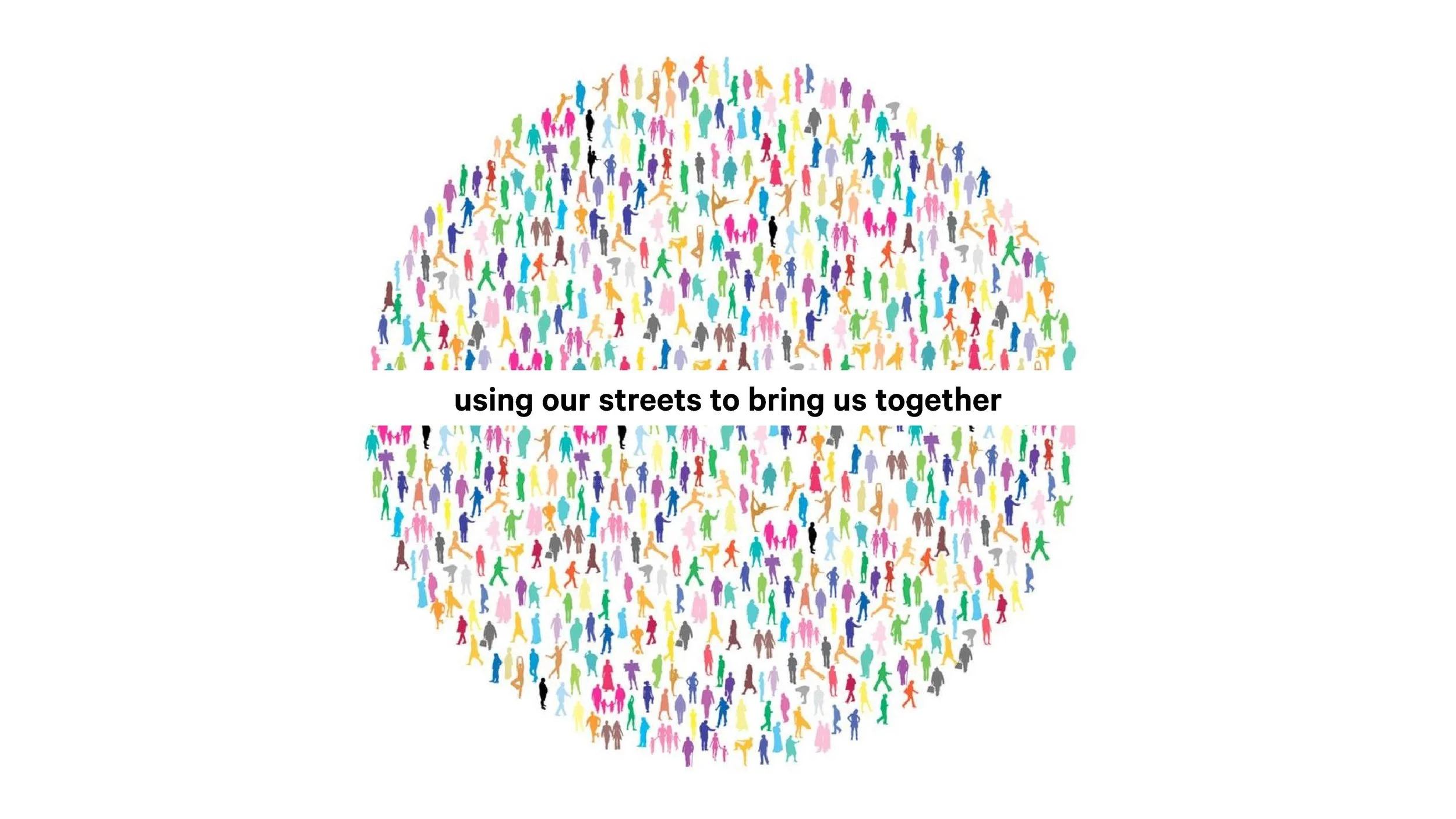
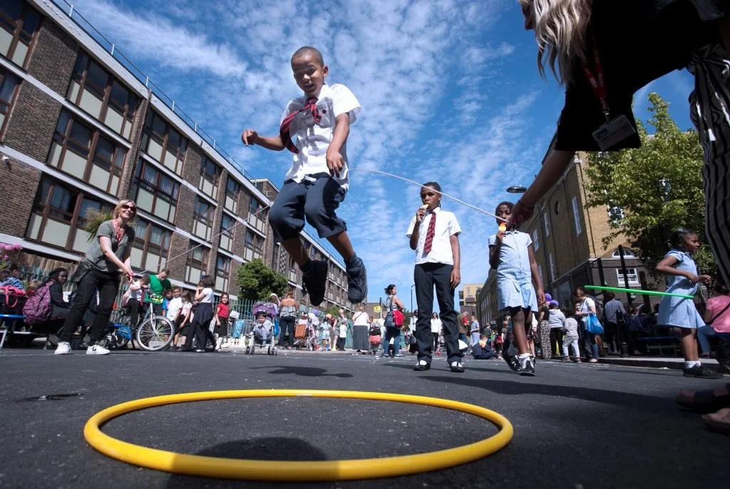
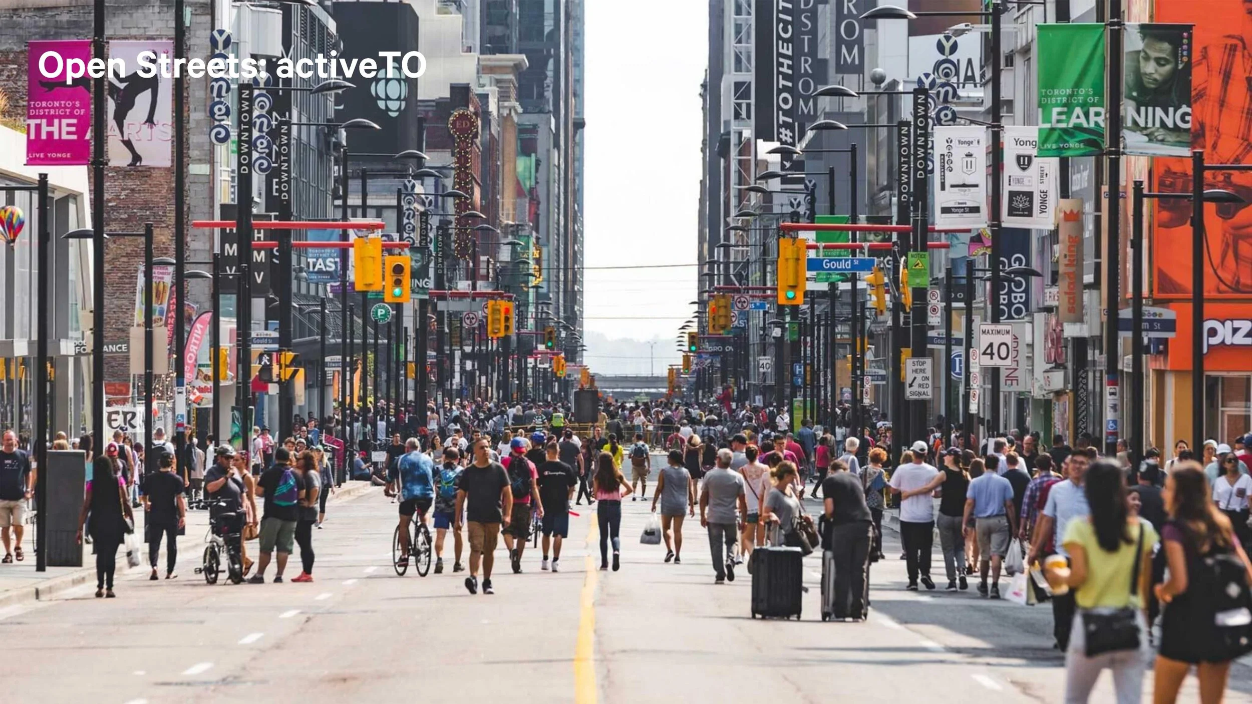
Streets are Places for People!
Why is this important?
““Streets are where you meet people — which is the basic reason to have cities in any case. Everyone can use the street.
If we can develop and design streets so that they are wonderful, fulfilling places to be — community-building places, attractive for all people — then we will have successfully designed about one-third of the city directly and will have had an immense impact on the rest”.”
Our streets define our city!
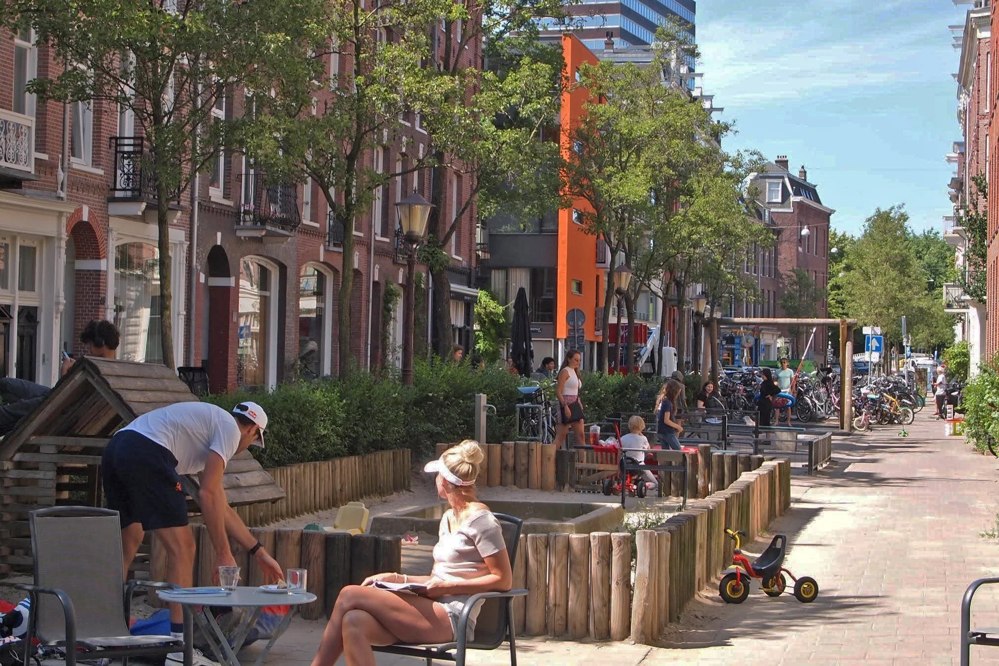
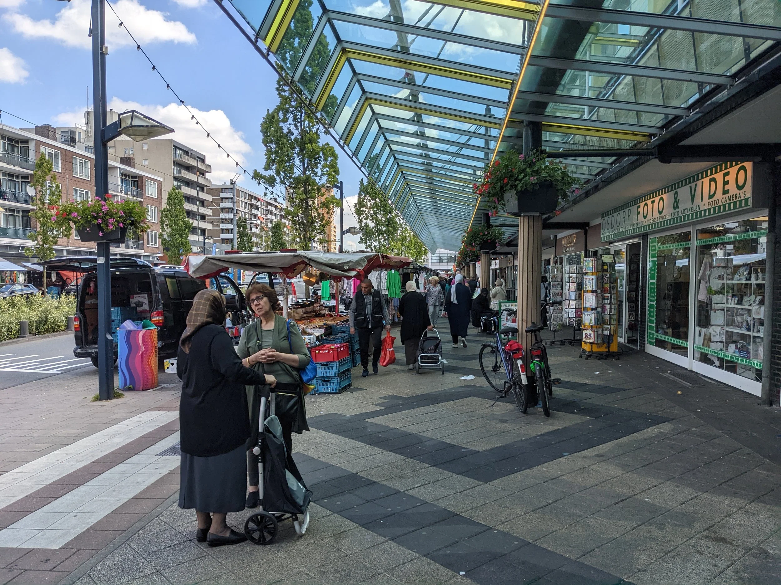
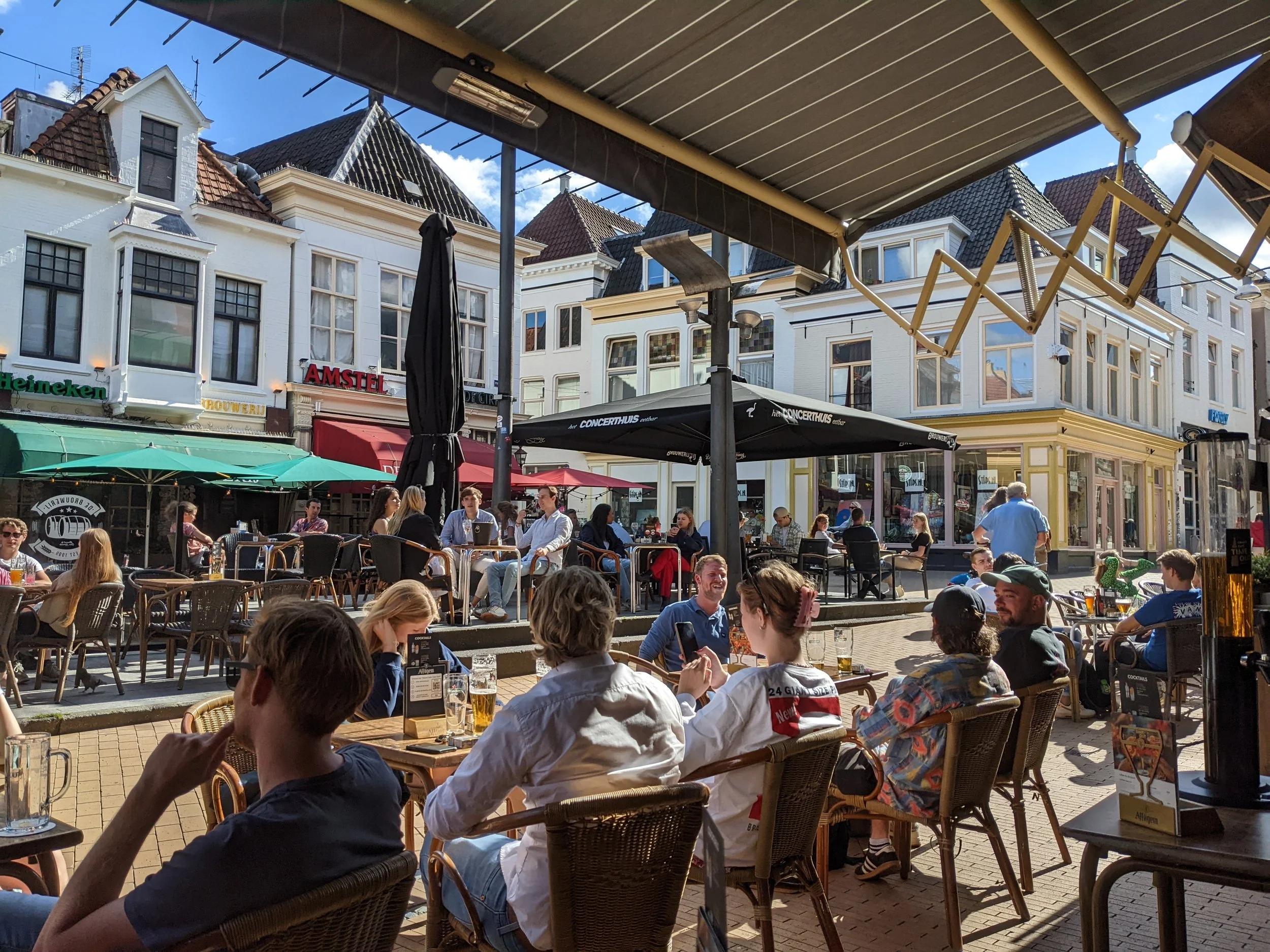
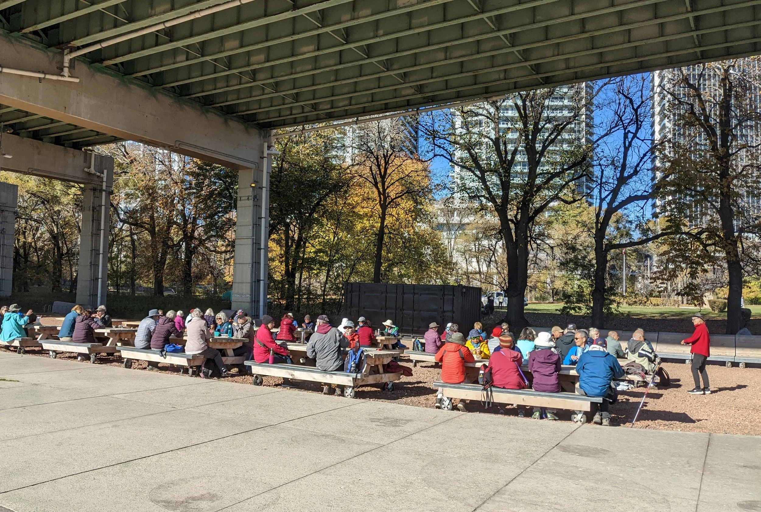
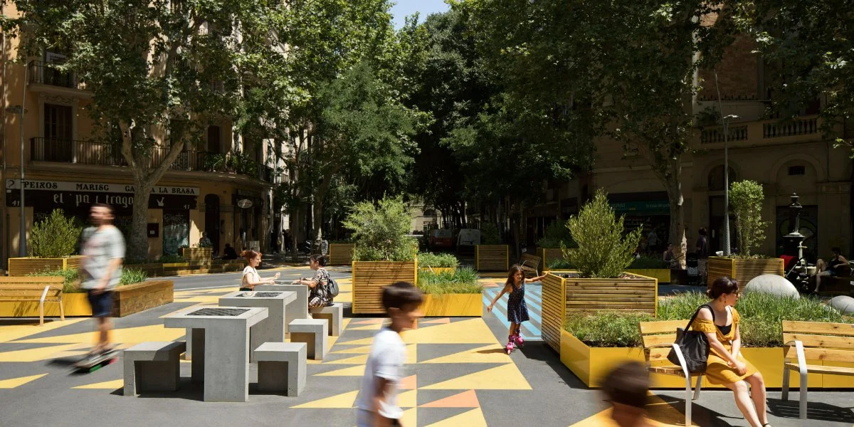
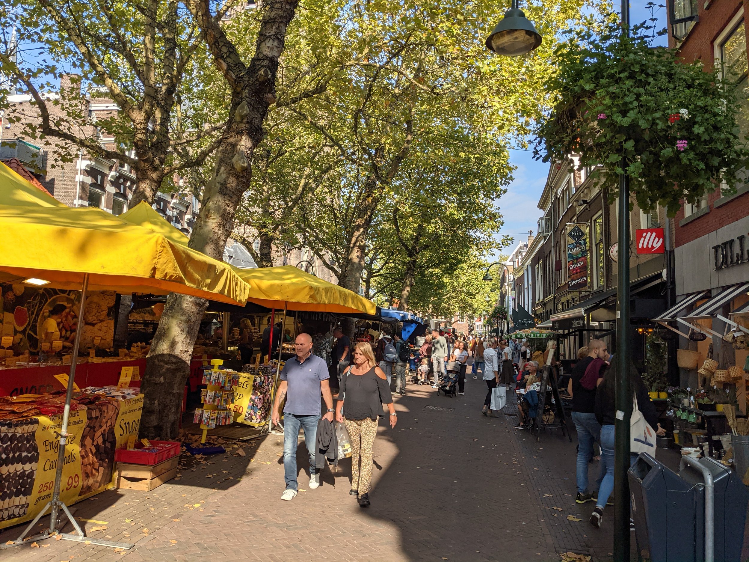
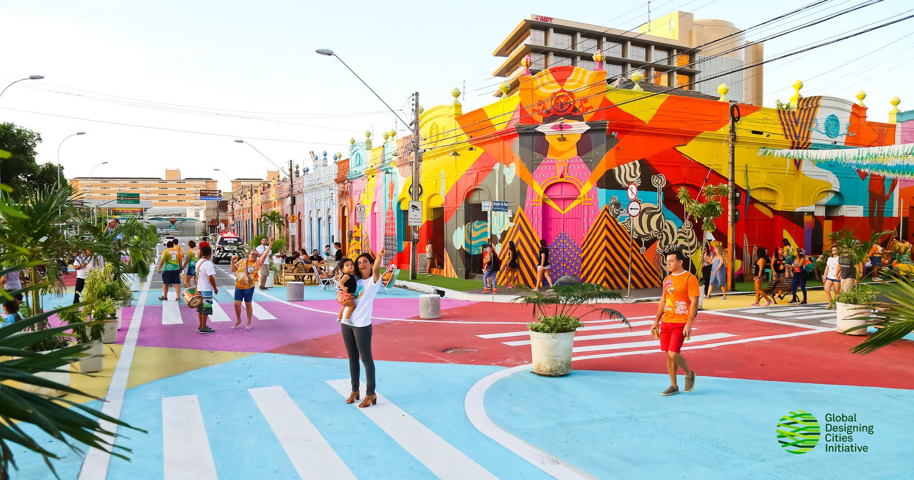
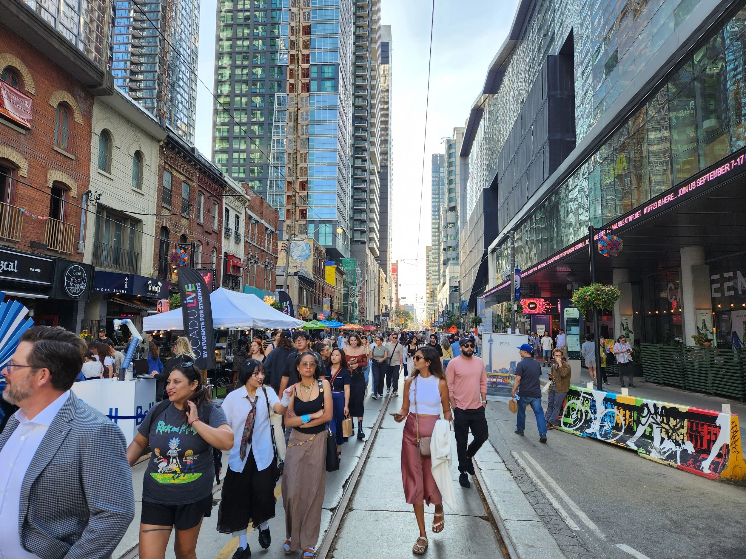
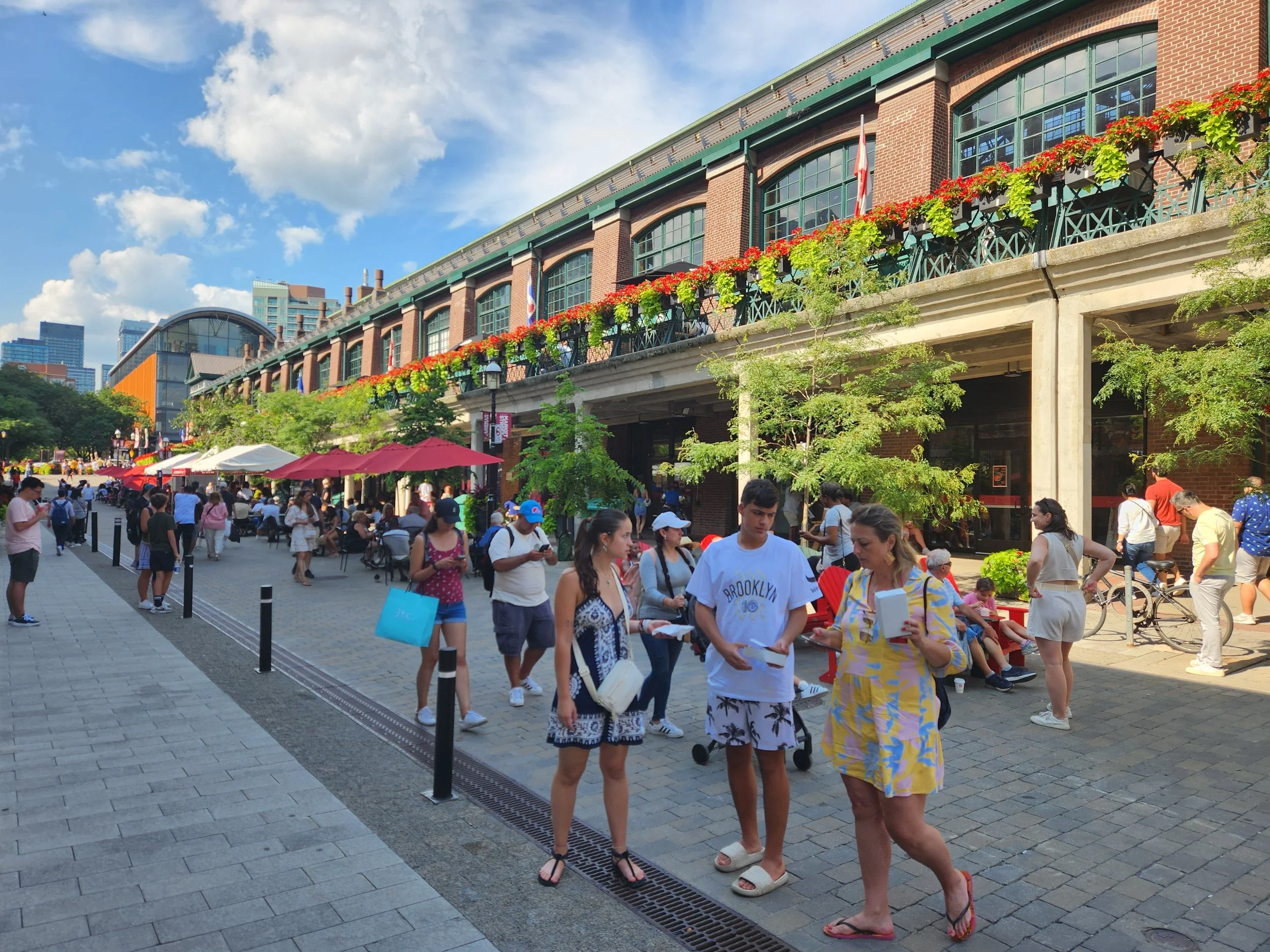
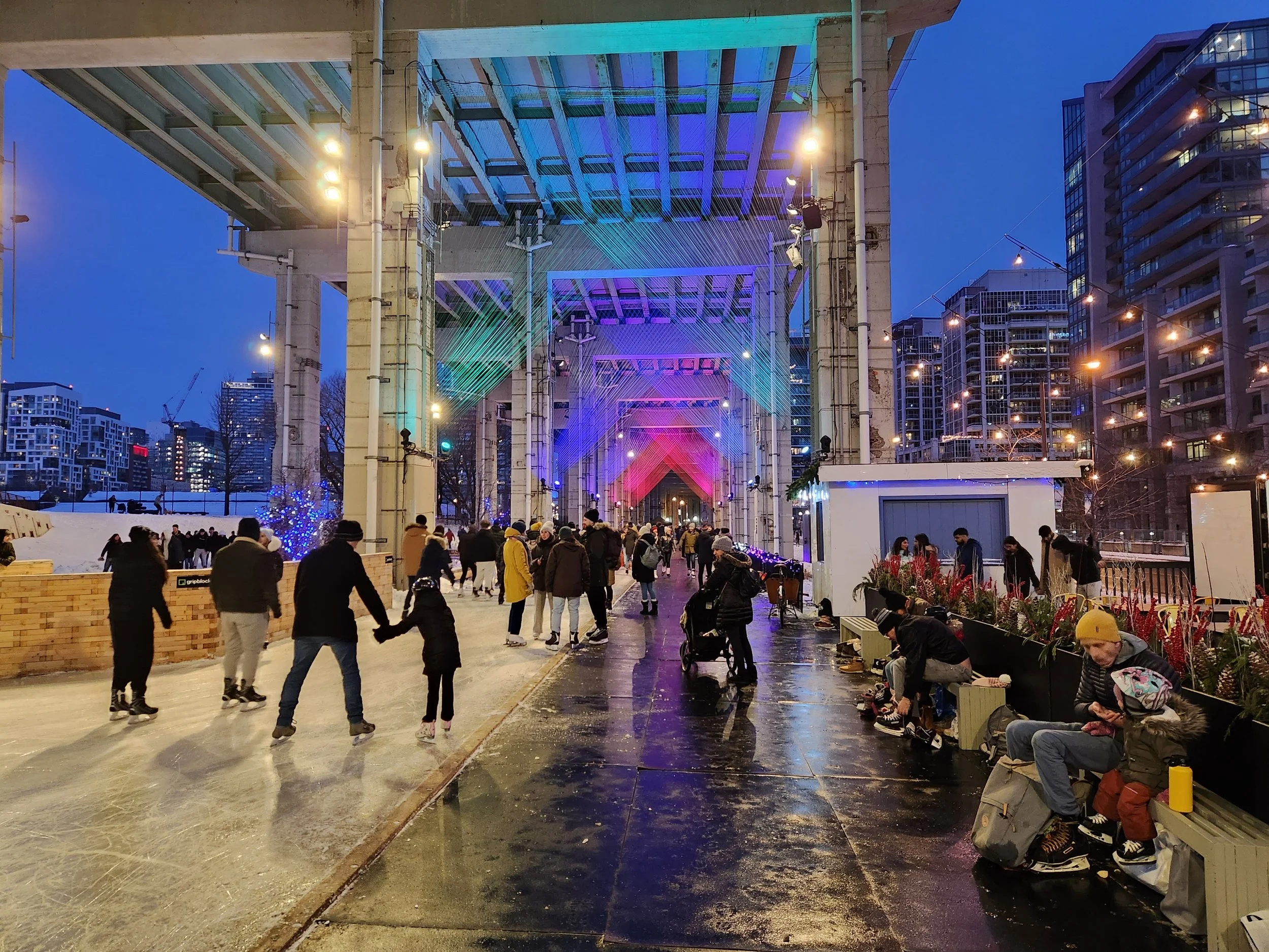
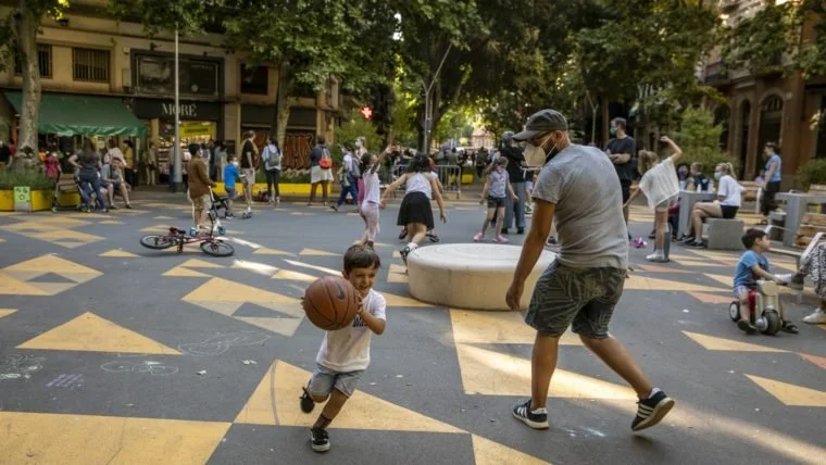
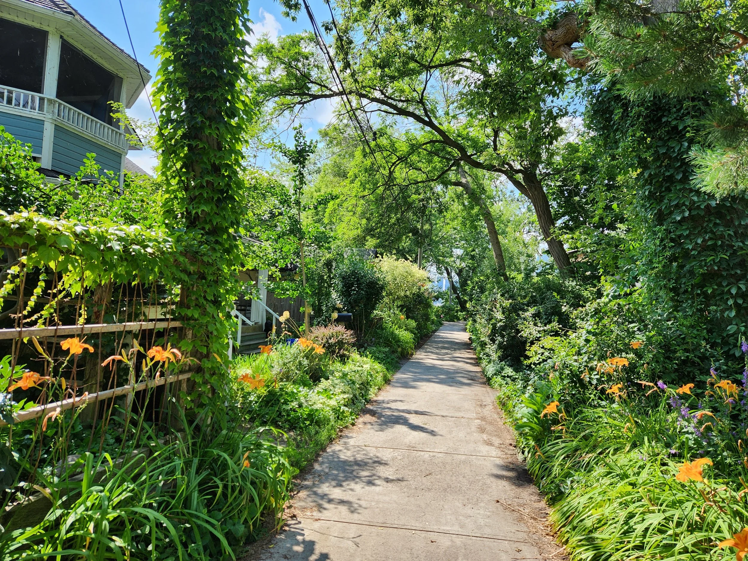
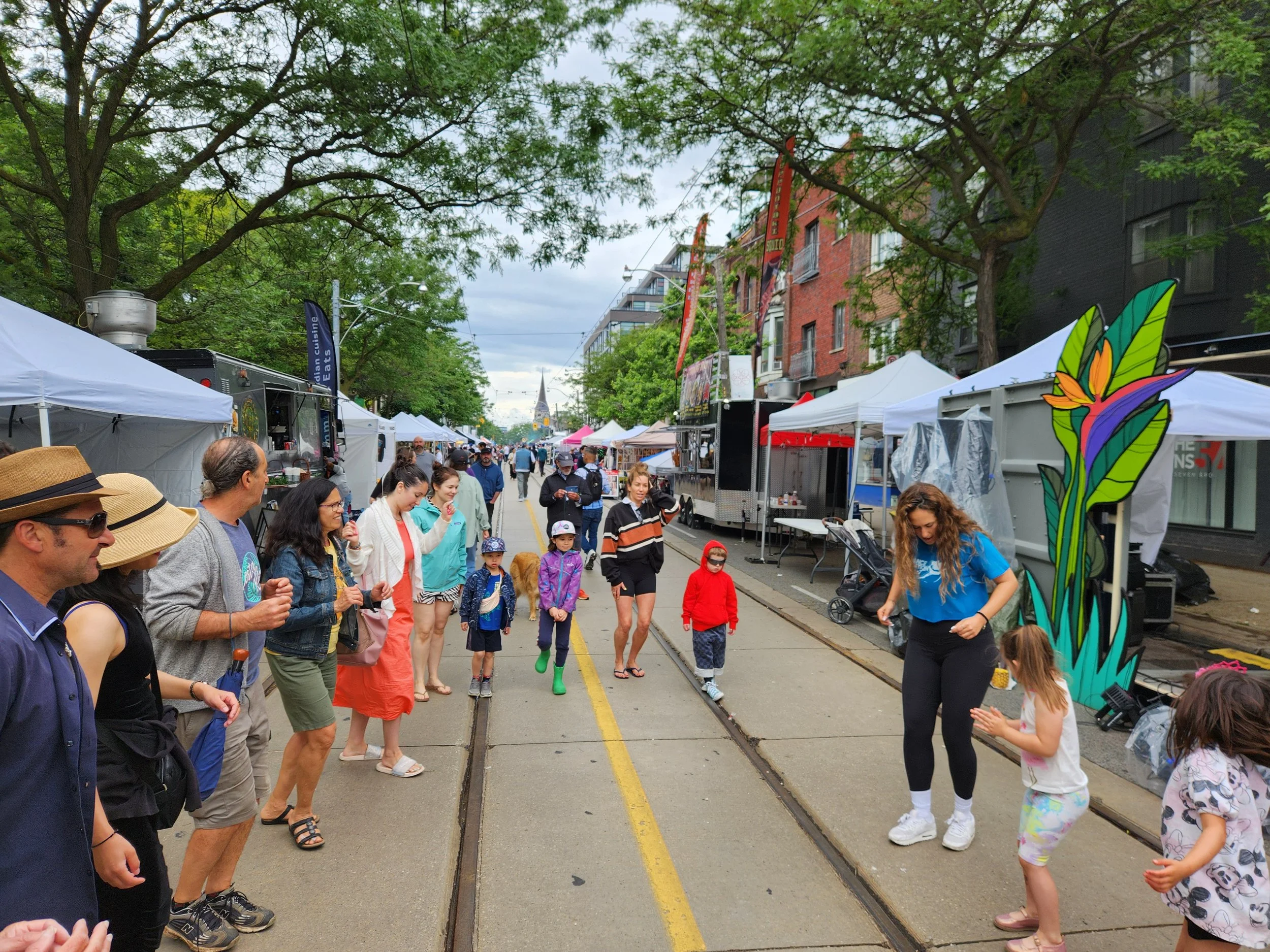
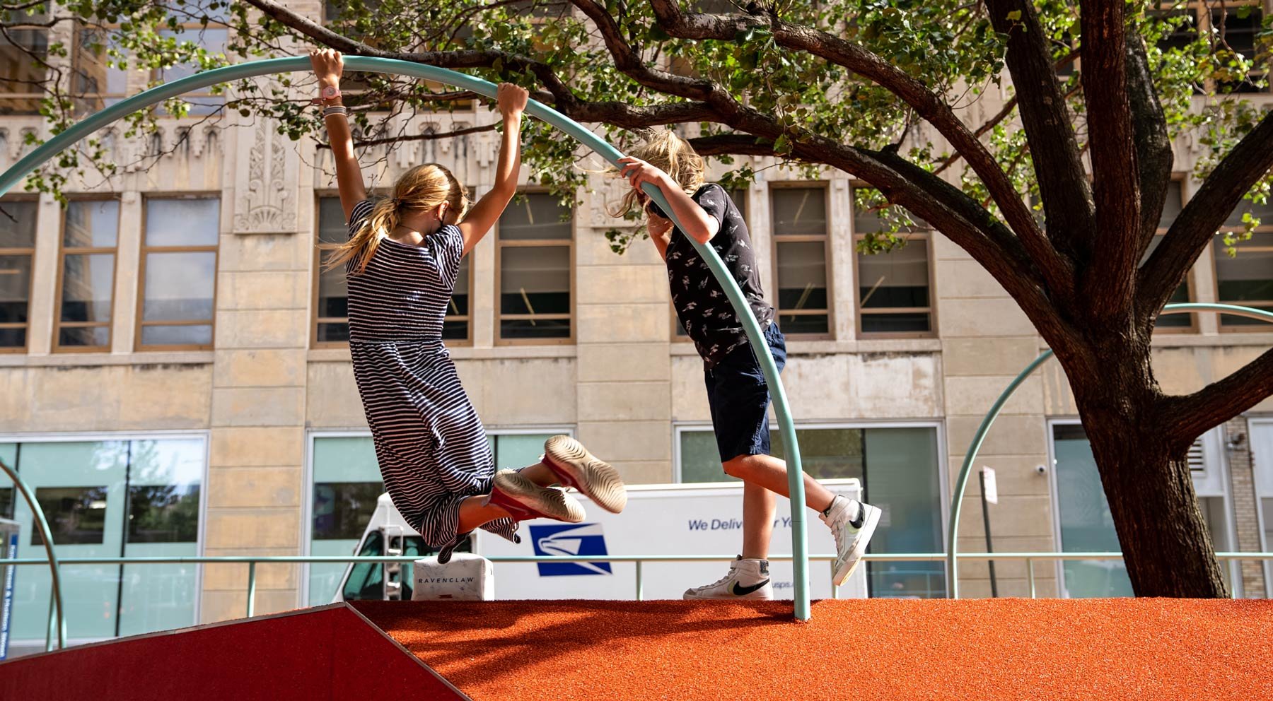
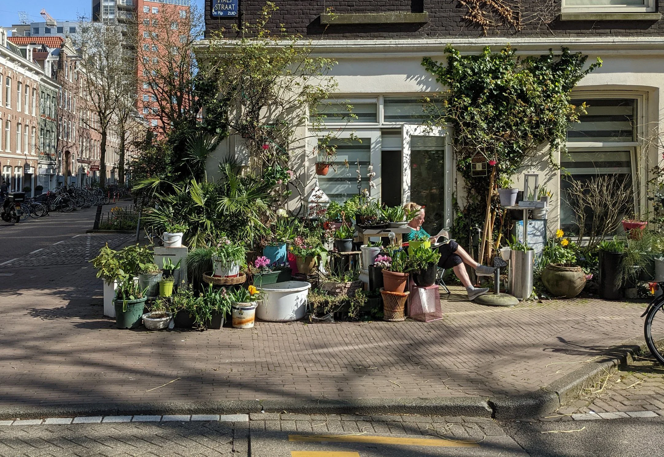
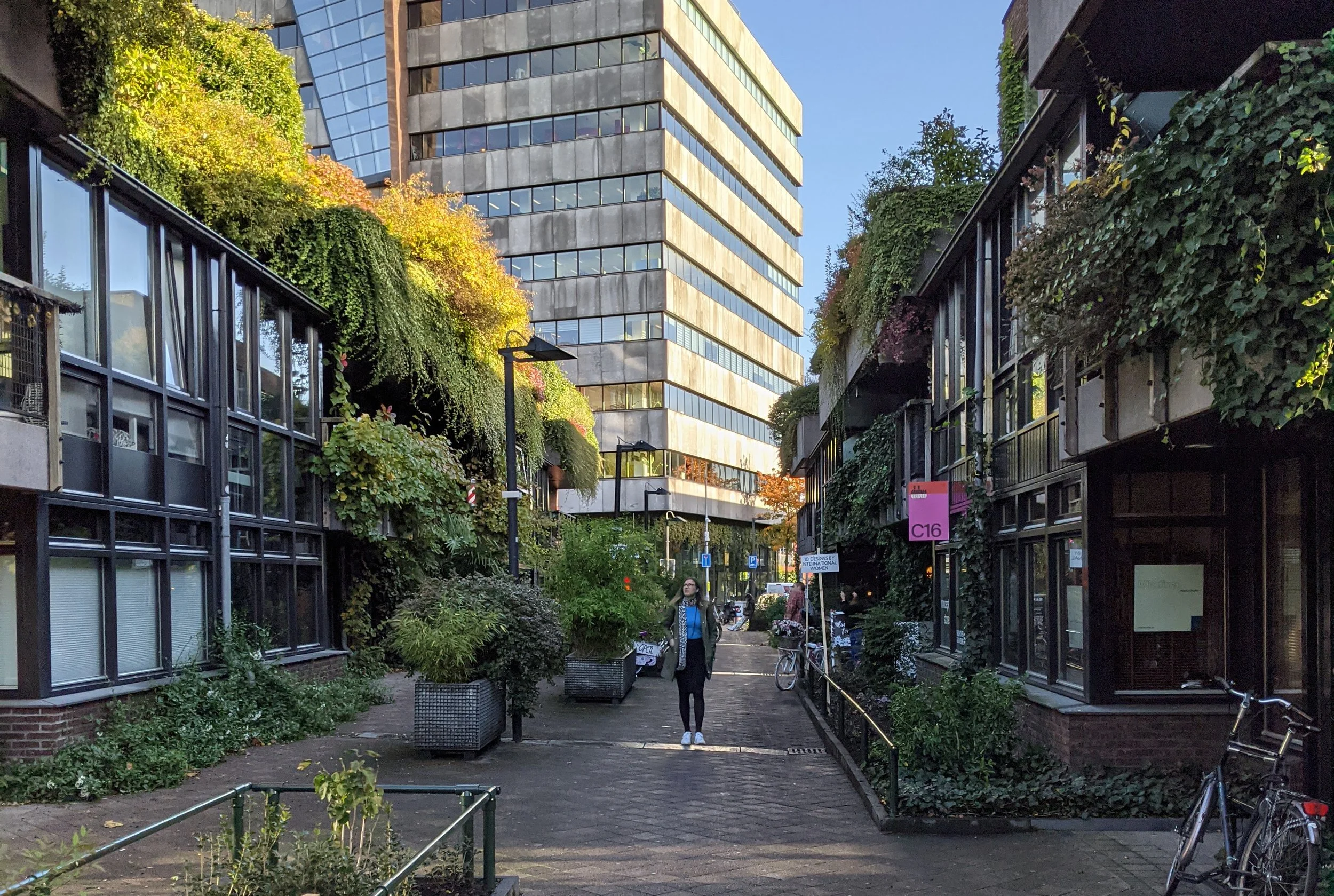
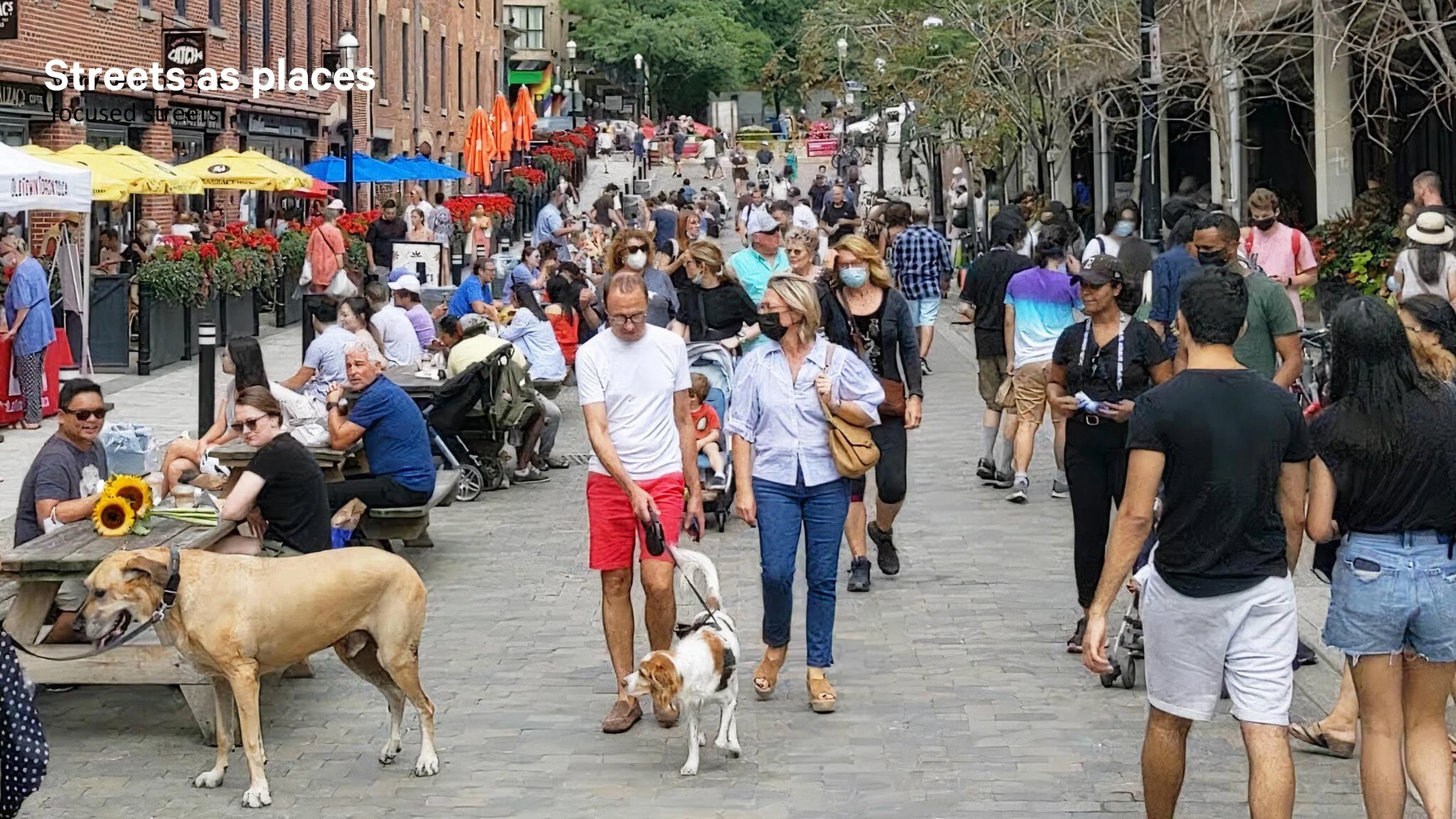
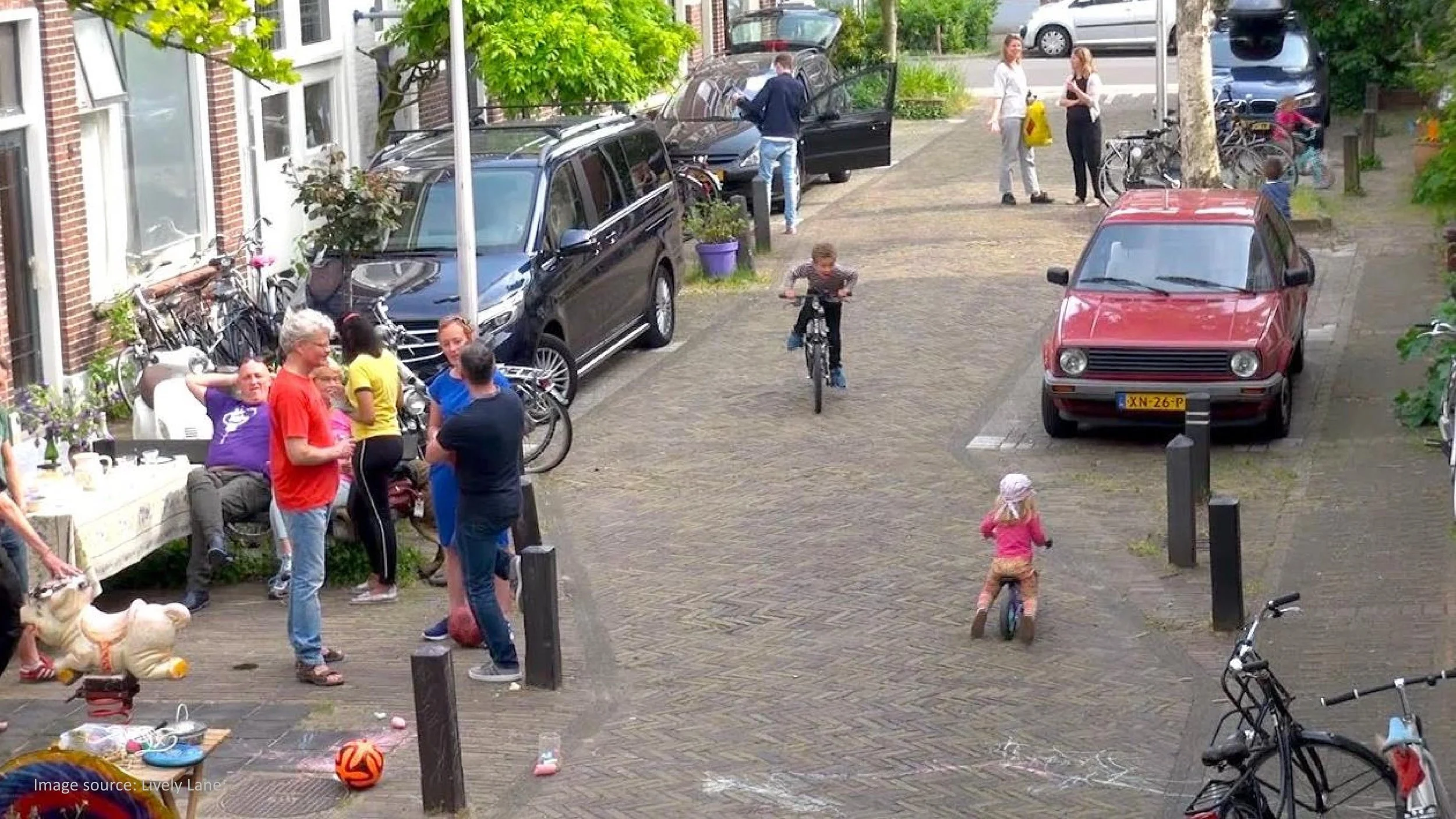
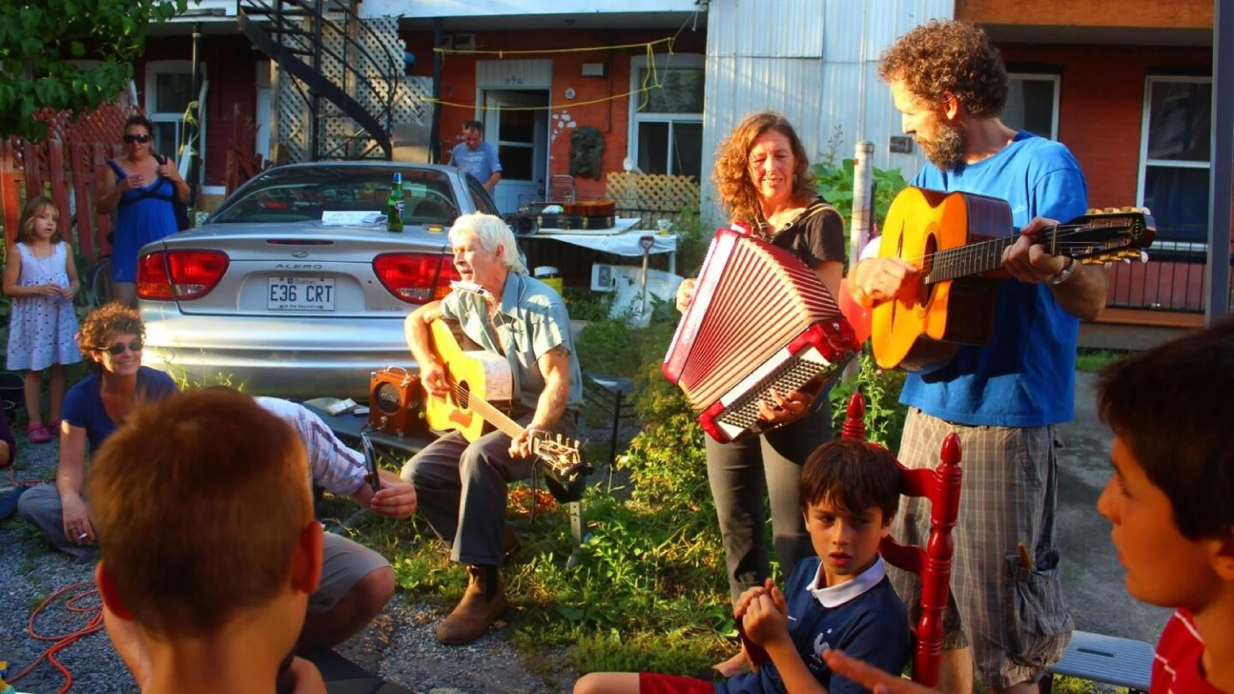
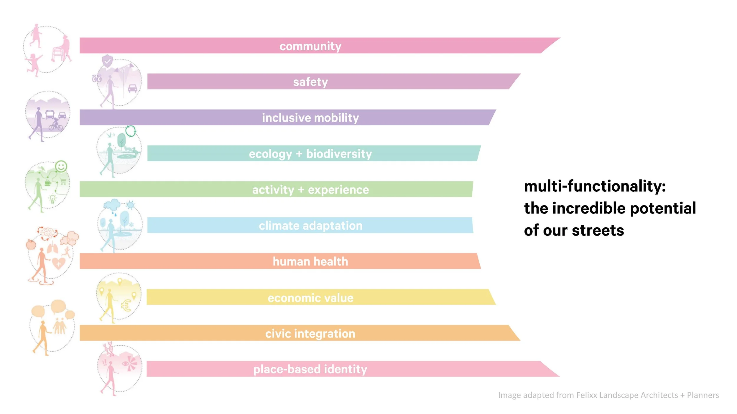
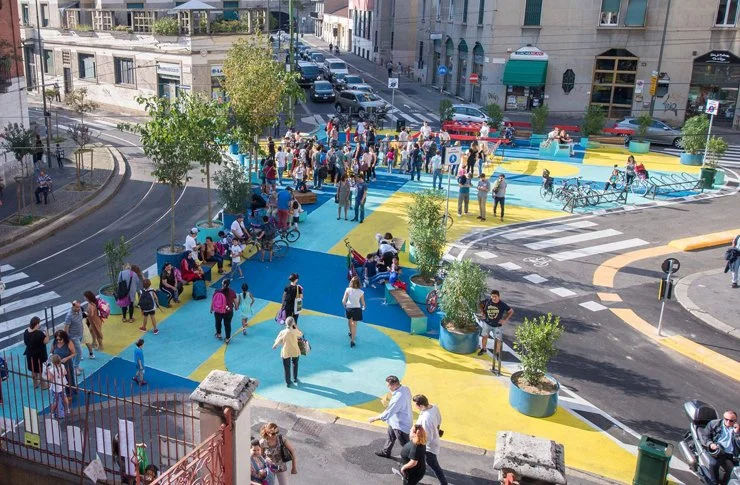
Streets can be dynamic public places that host all sorts of social, cultural, and economic activities: they lend character to our neighbourhoods and make Toronto a distinct, vibrant, and livable city.
Our streets are where we meet our neighbours!
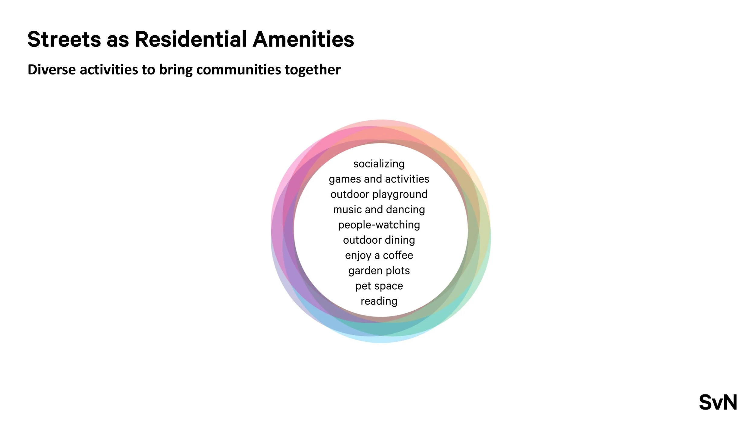
Streets that are generous and inviting can become extensions of our living spaces, providing opportunities for rest, conversation, and people-watching; allowing us to get to know the people that live around us.
Our streets are our public space!
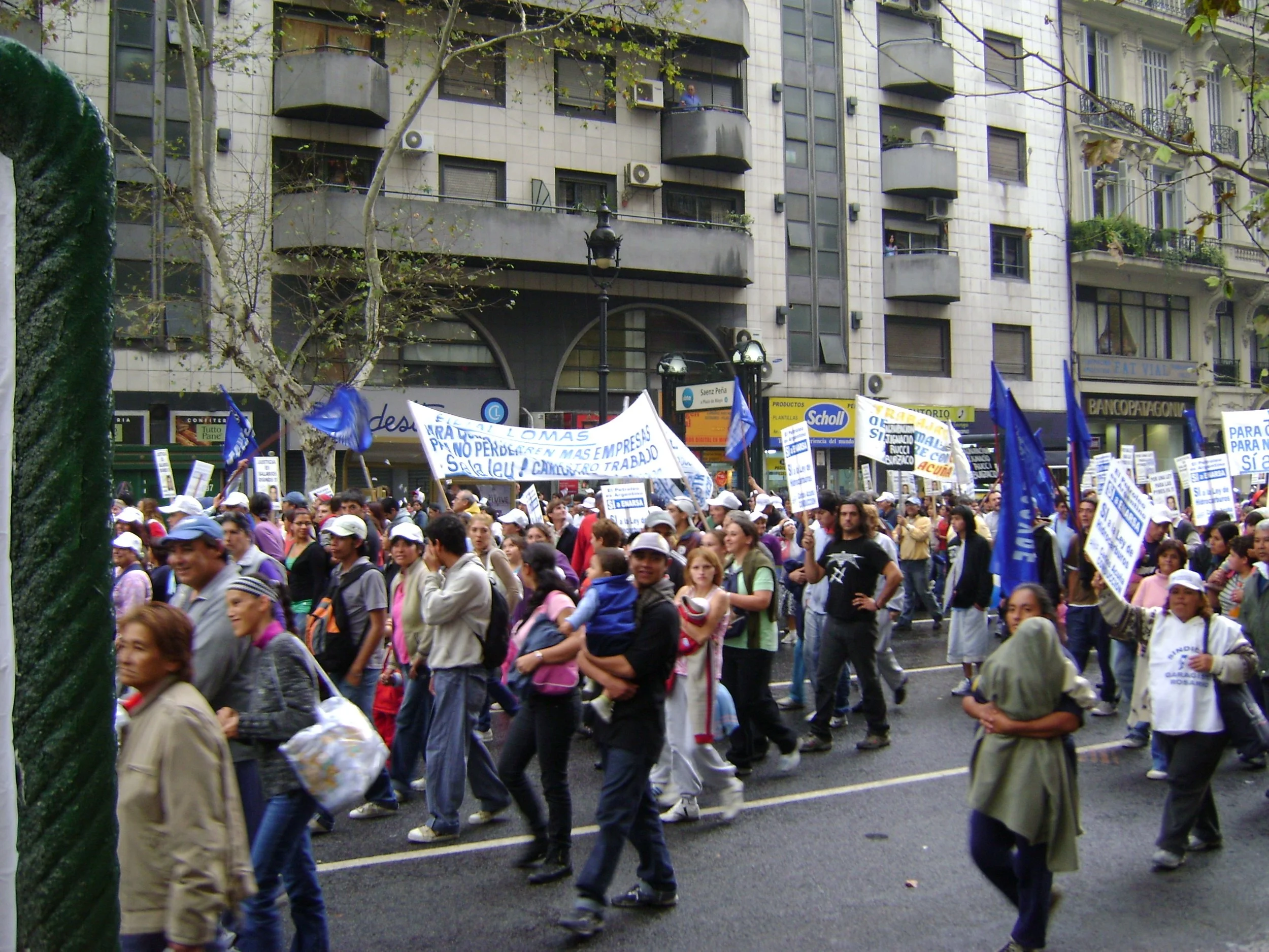
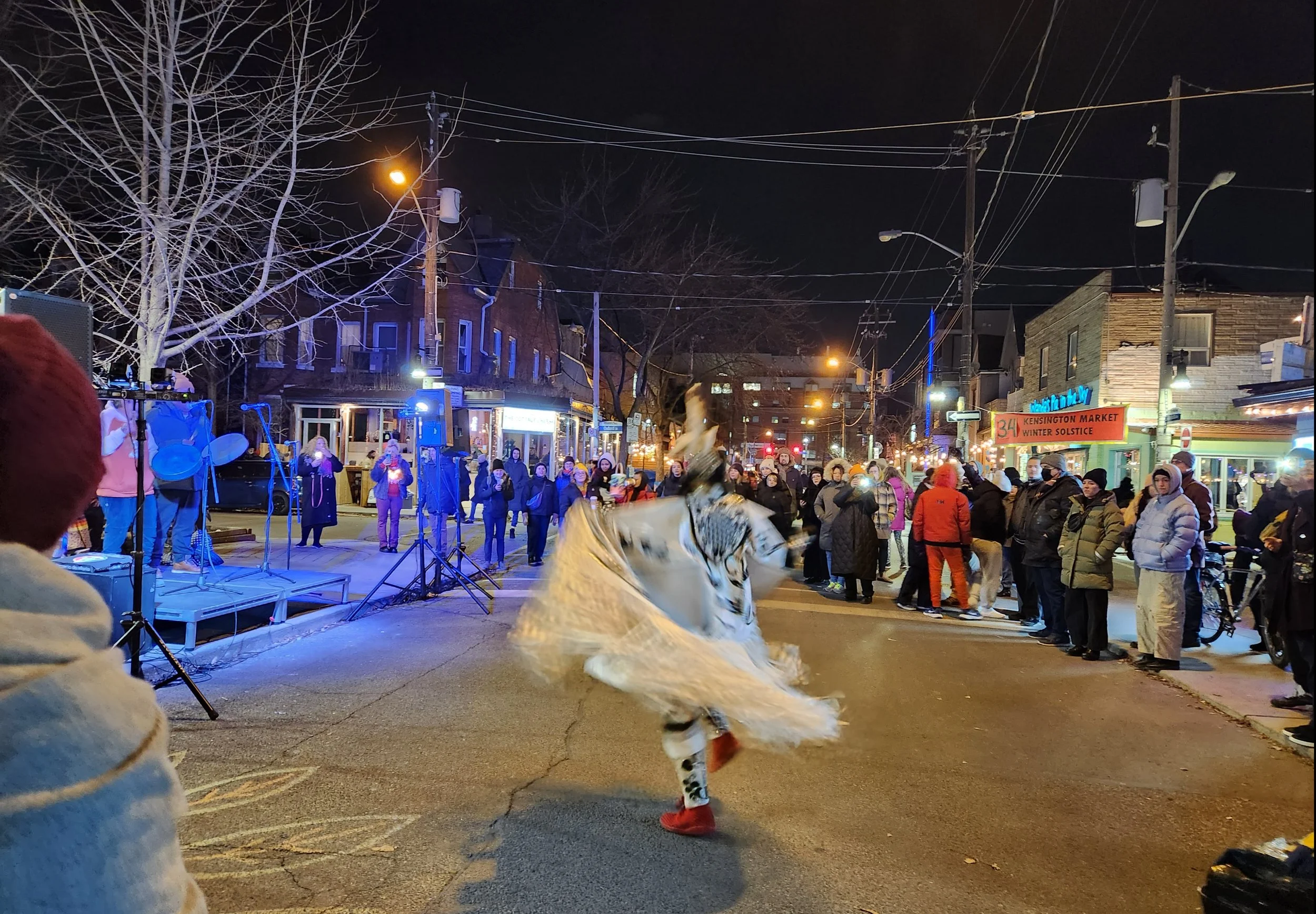
Streets are part of our city's public realm: they are our shared property. If they are designed as accessible places they can connect us with our fellow citizens and allow us to participate in civic events such as parades, rallies, and celebrations.
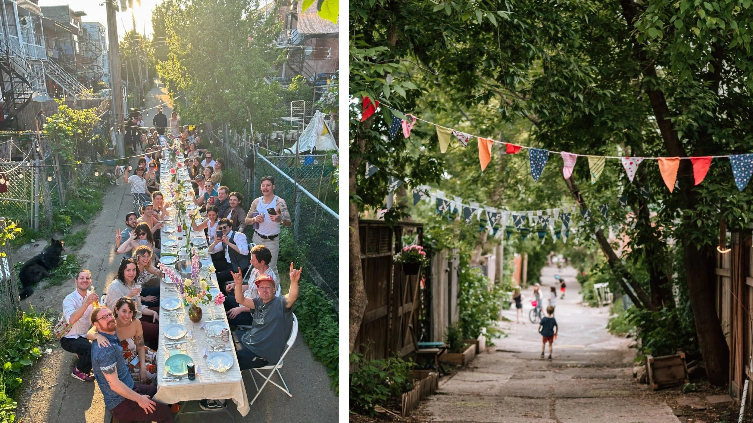
Our streets build strong communities!
Streets designed for adaptability and resilience foster social connection, mutual support, and collective action. These characteristics can help address challenges such as social isolation and public health, boost local economies, and mitigate the effects of climate change.
Do you know a photographer? If there's some money, we should hire a photographer (or find a local volunteer!) and add to / replace the image roll above with compelling images of our neighbourhood. They should start in June before school is out, and remain "on tap" to capture as much good material as possible. We can make little "assignments" for them (ie. when street activations happen, or as transformations take place). Here's a starter list:
Daily Activities:
- Walking kids to and from school on the Esplanade (school ends in June!)
- Students at George Brown
- People walking along Front Street (good spots and bad spots...), shopping, getting groceries, sitting on a patio
- People enjoying drinks on The Esplanade (between Church + Scott), or at Bellismo's
- Elderly residents sitting on the stoop at Church & Esplanade
- Adelaide bike lane users
- Streetcar users
- Subway entrances at King
- Patio at Flatiron
Special Features:
- George Street Activation
- Market Street on weekend
- Market street park just south of St. James on weekend market days
- C'est What Patio, plus Esplanade tree "allee" in that block.
- Front Street Festivals (September? Or will we block off the intersection between markets again?)
- Park(ing) Day (September! Let's set this up)
- Meridian Centre / St. Lawrence Centre line-ups
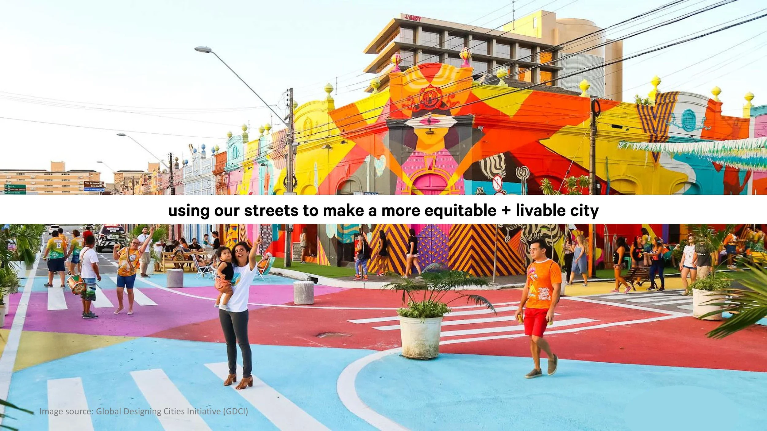
What can we do to make all of this a reality?
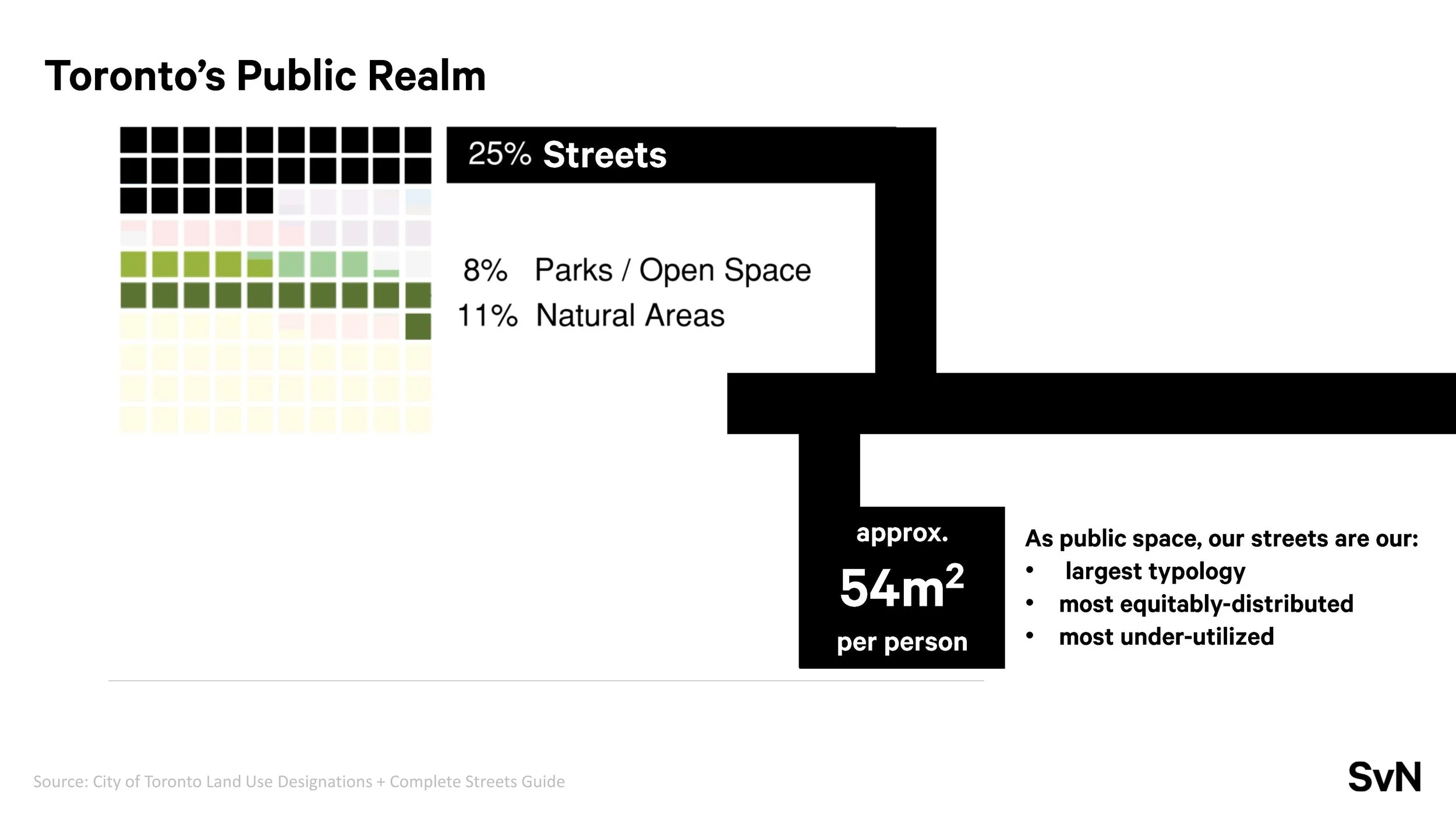
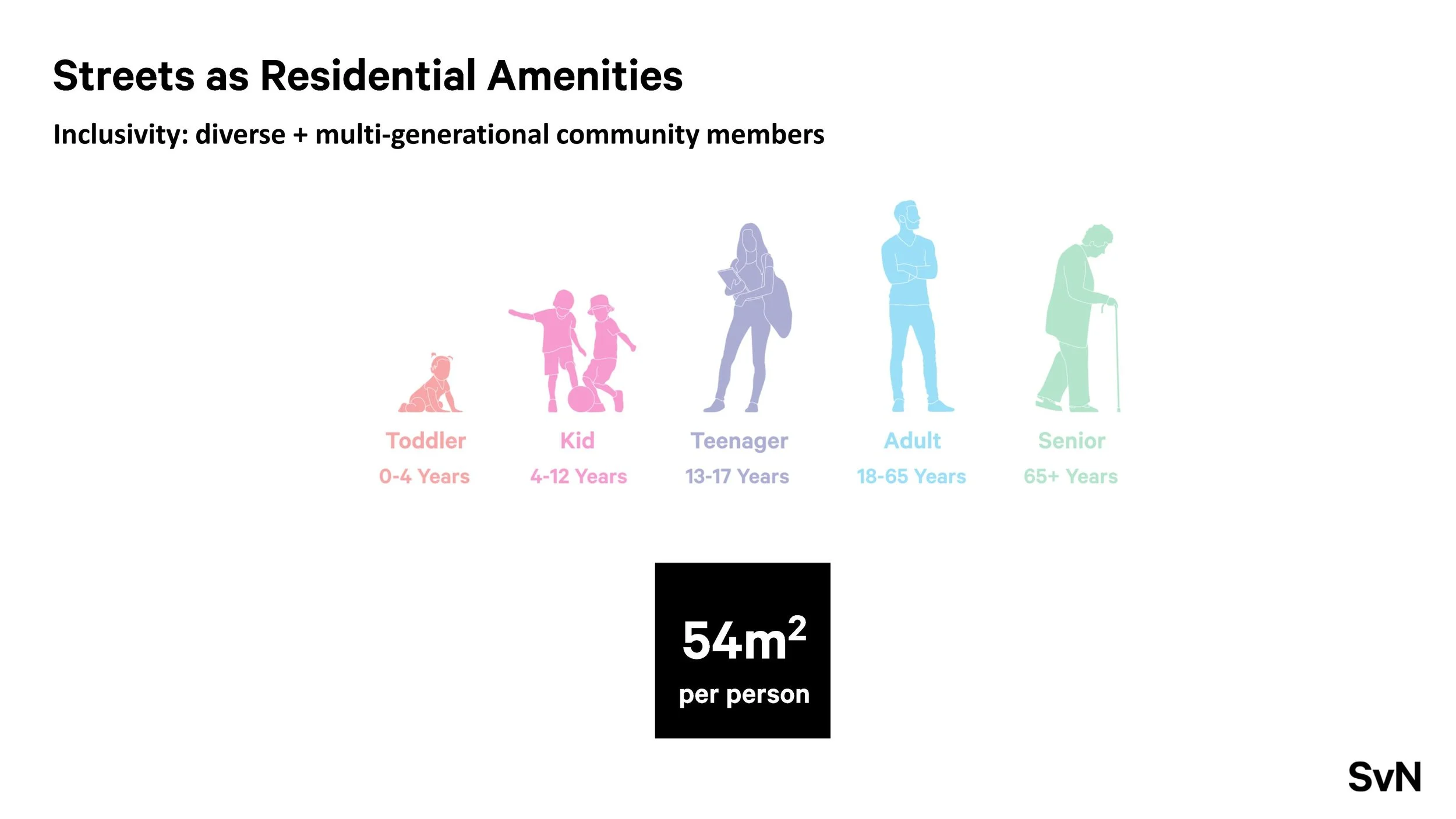
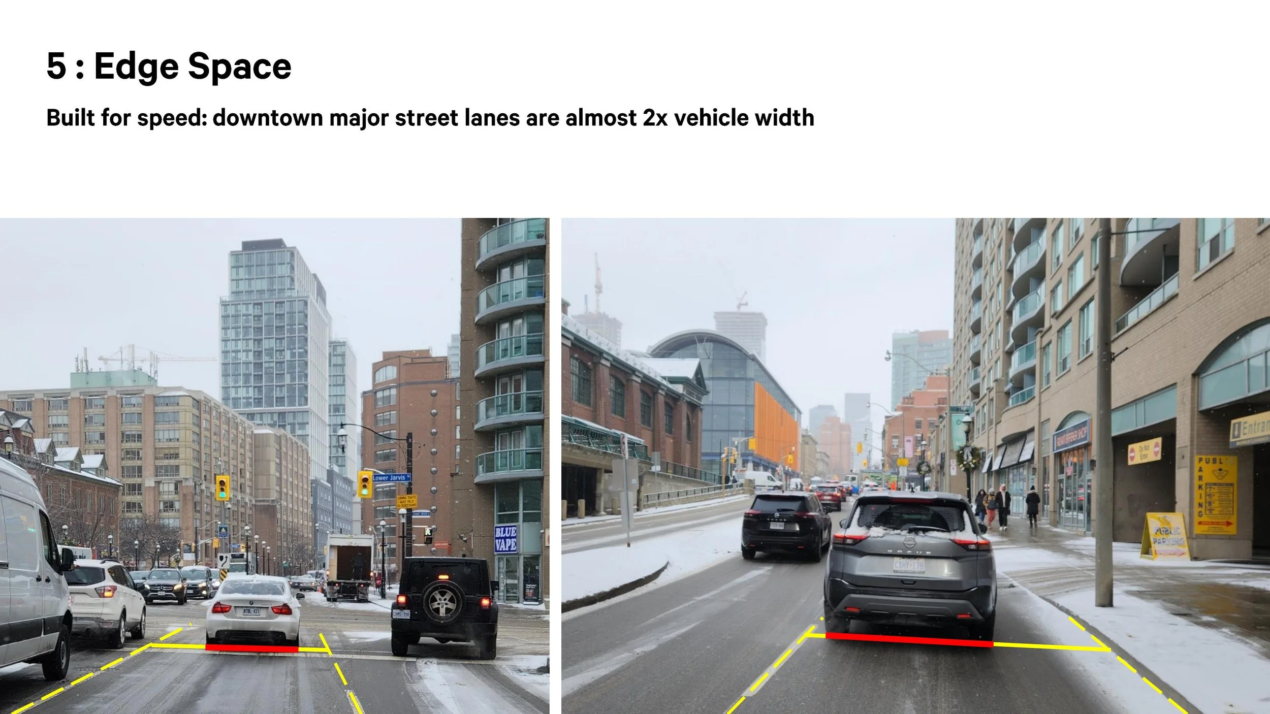
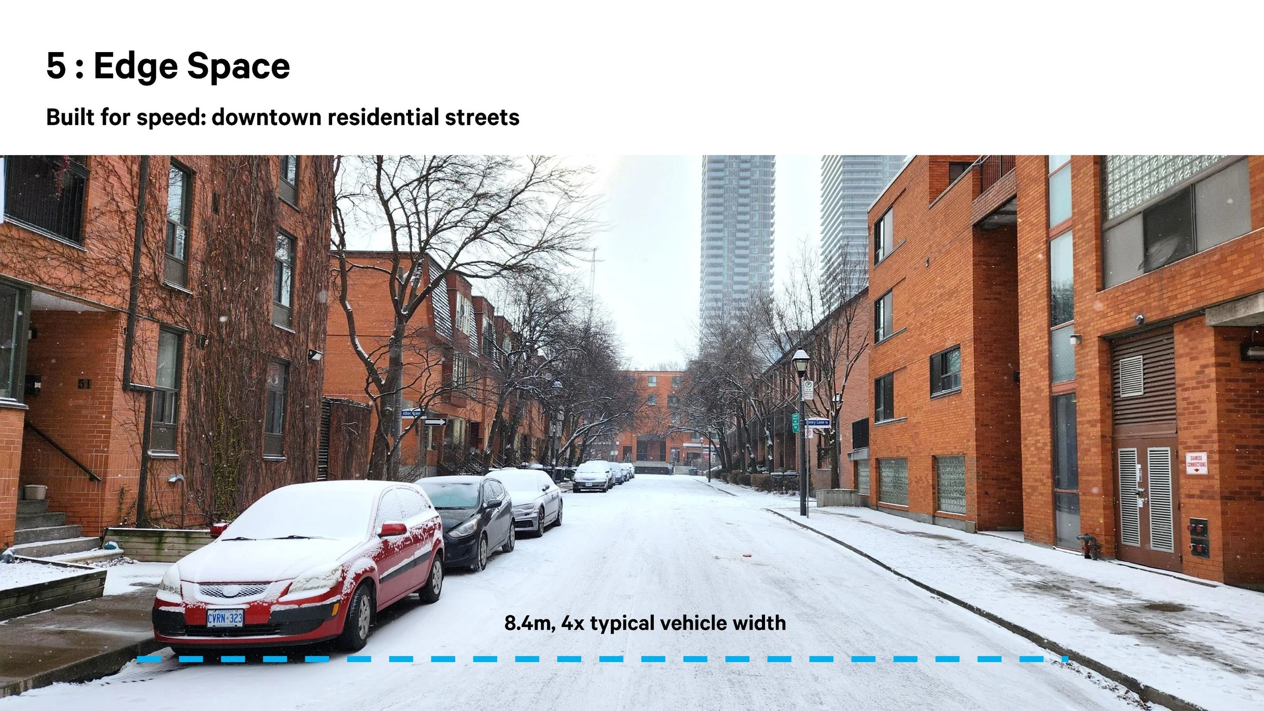
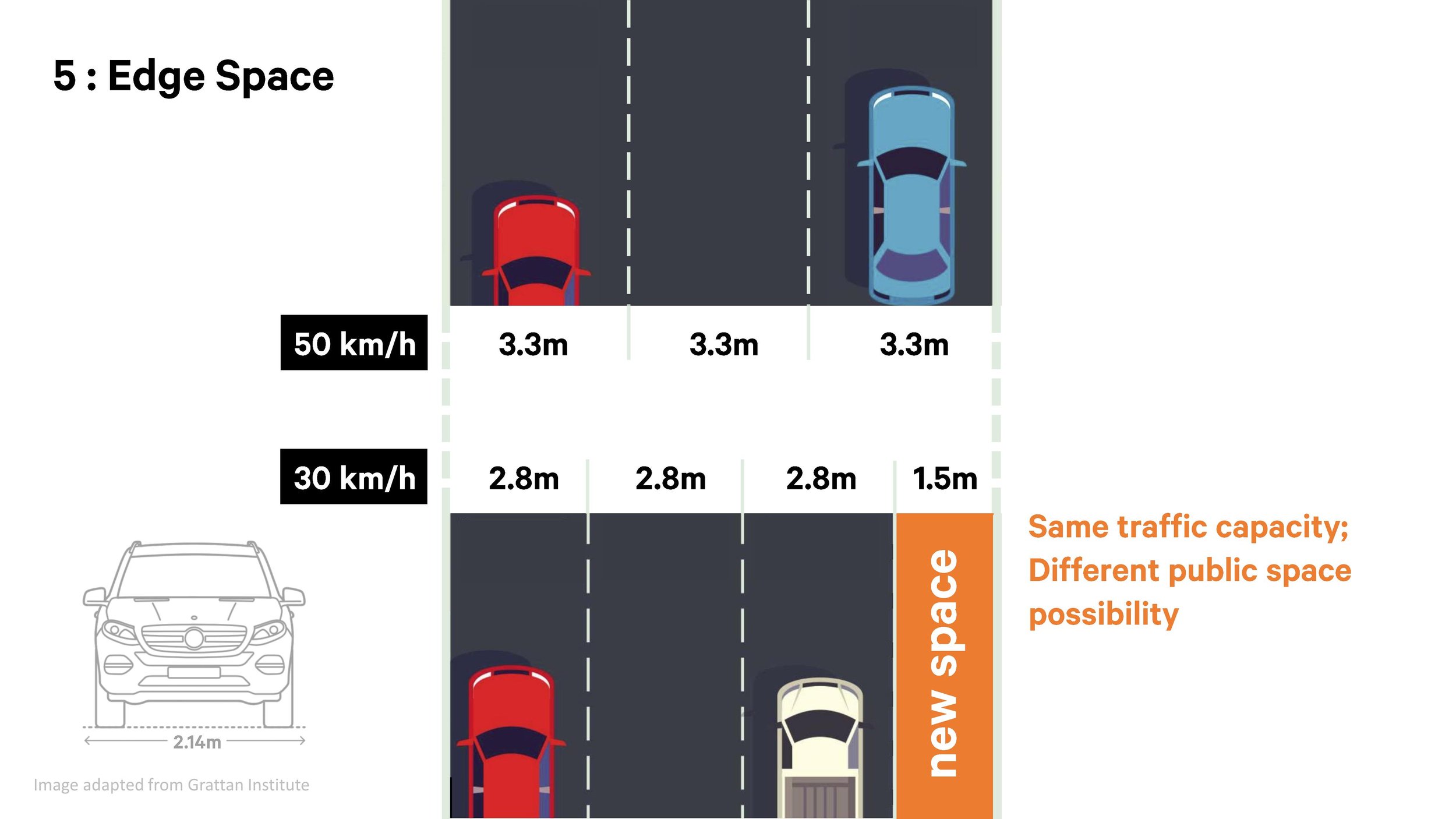
Toronto has a huge amount of streets: at over 5600 km of streets, they make up 25% of the city's land area. If we divided our streets equally among the city's population, each person would receive 54 m² (580 ft²).
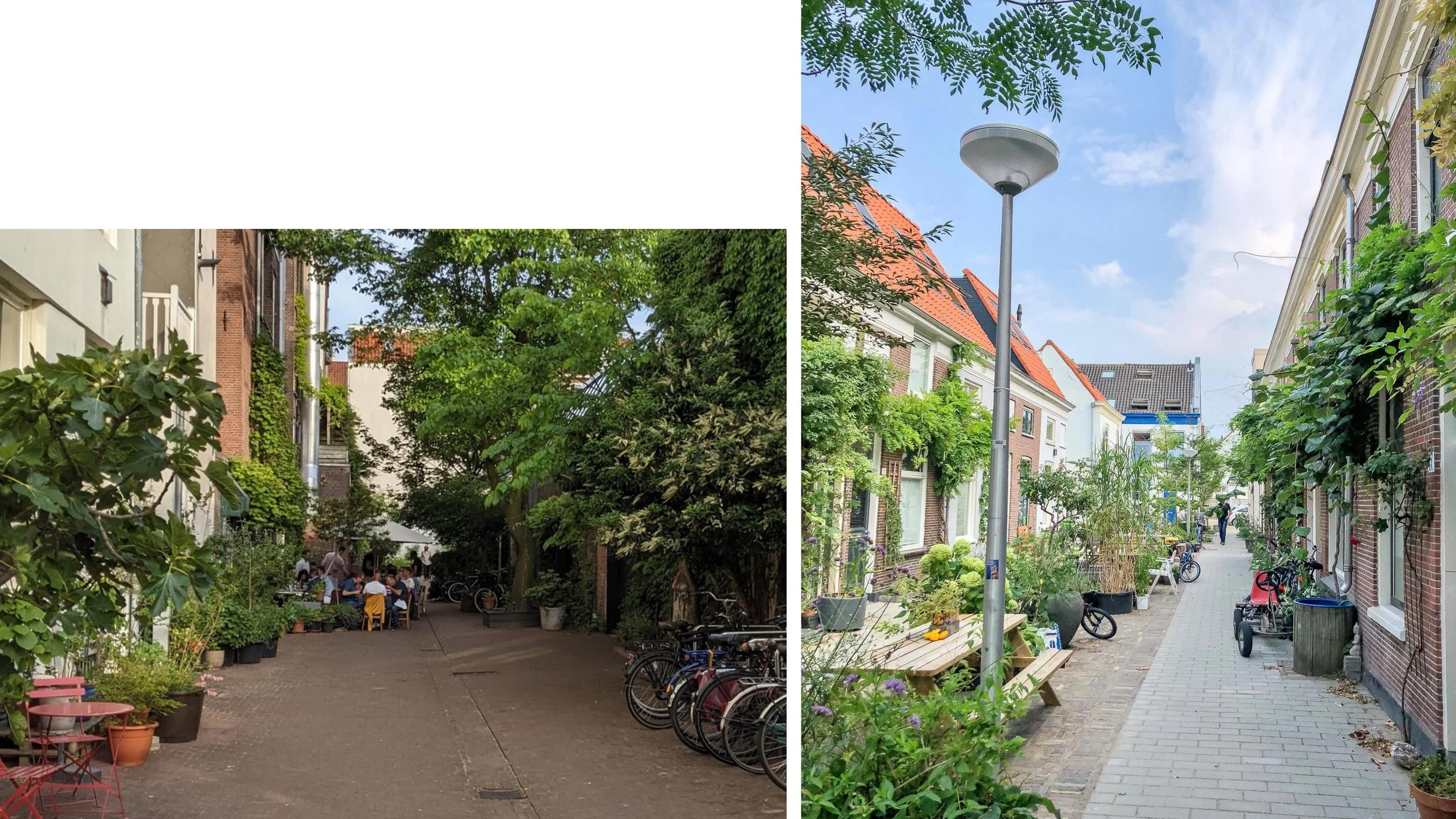
Our goal is to give some of our street space back to the people of Toronto.
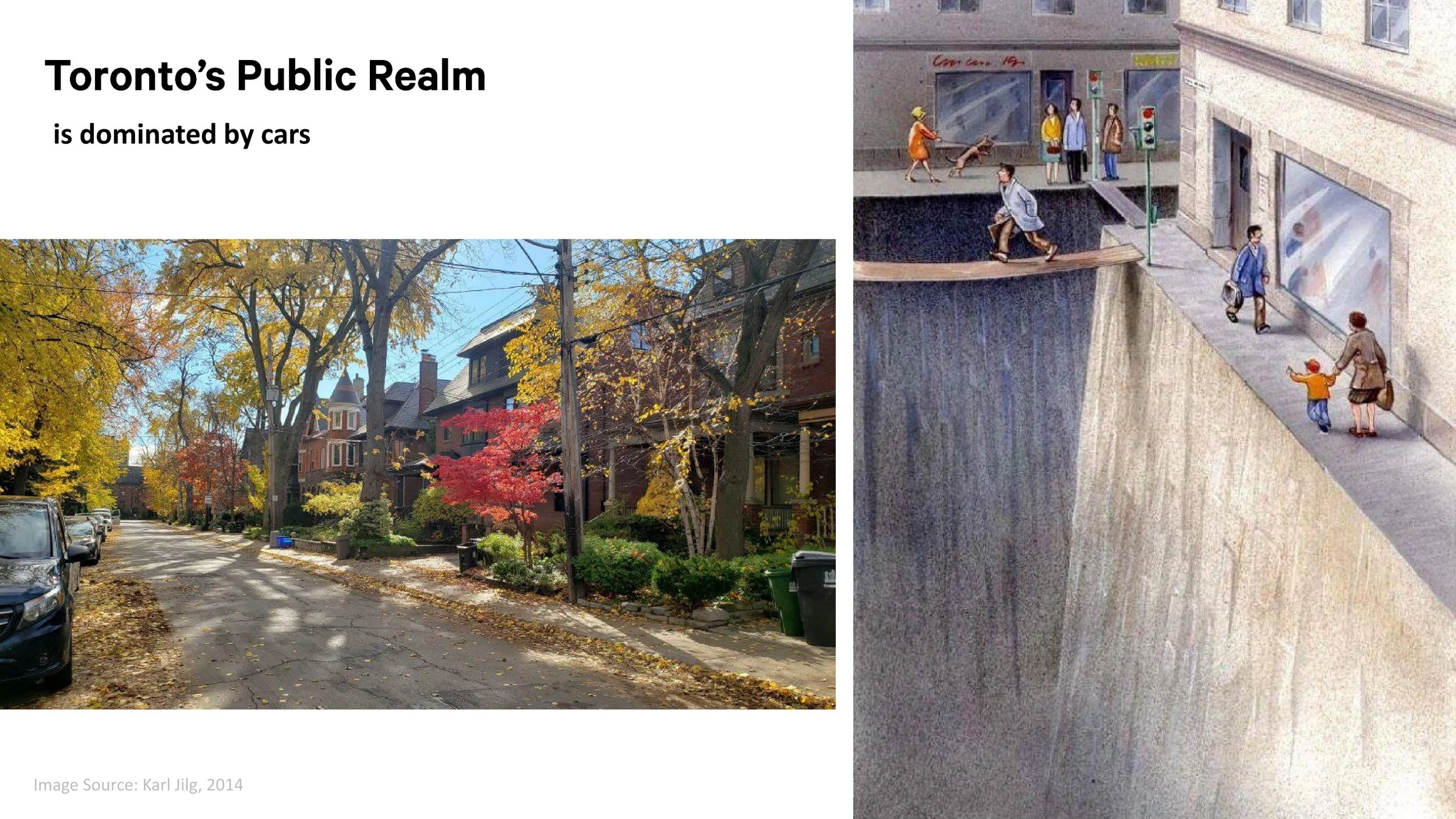
To do this, we need to optimize every street, carefully defining how much space is needed for traffic. If we focus on safety, accessibility, and efficient traffic flow, we'll find that most of the "road" width on our streets will shrink. The excess space can then be used to support a huge range of public activities.
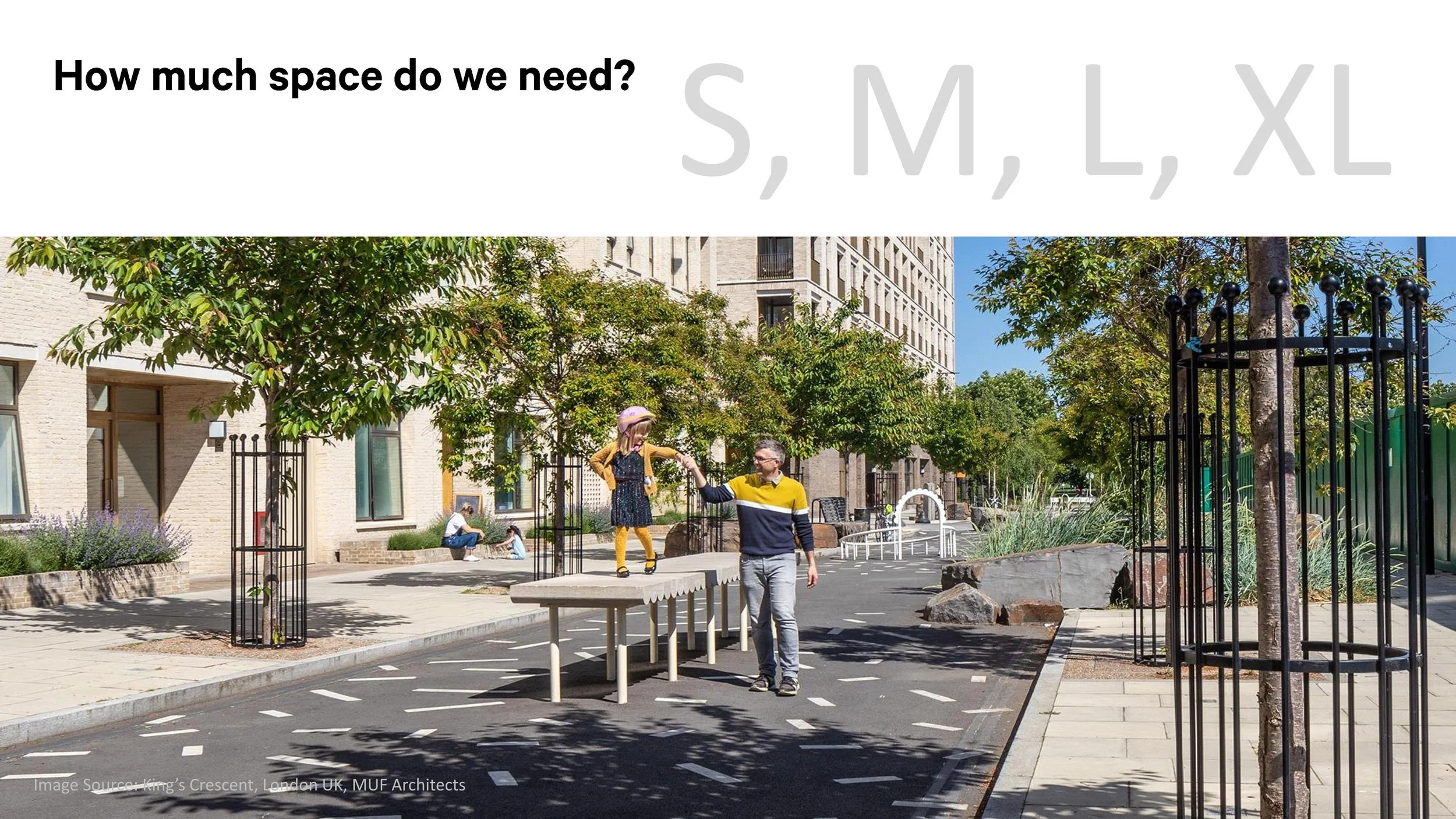
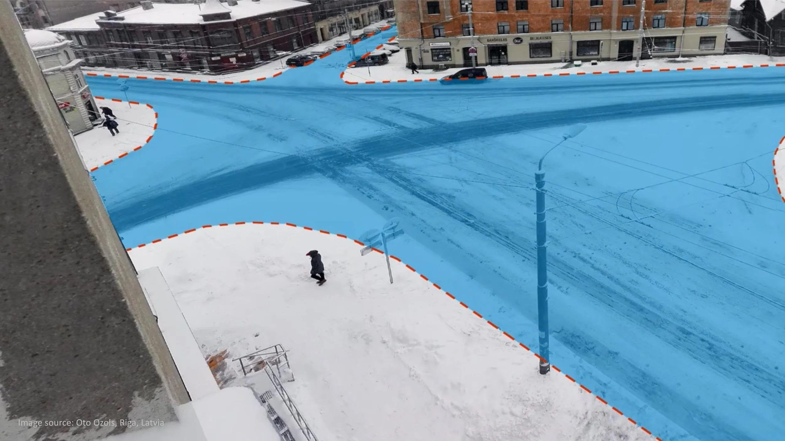
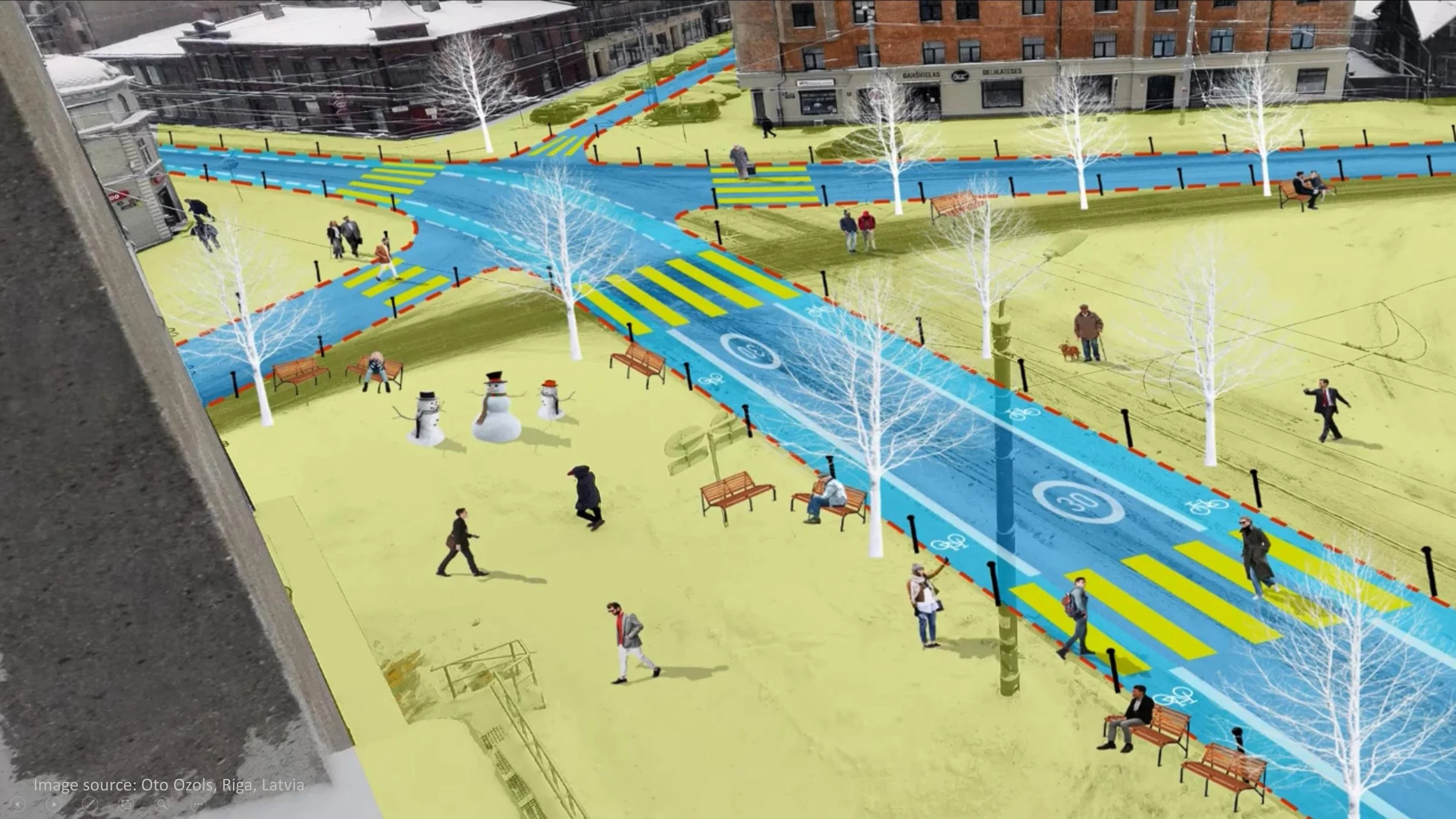
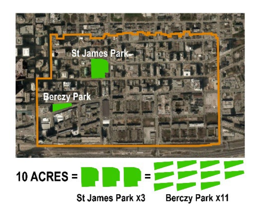
Using this method, we could reclaim more than 4 hectares (10 acres) of valuable street space in the St. Lawrence neighbourhood alone.
Accomplishing this is the first step in our mission.
This success can then become a prototype for similar transformations throughout Toronto.
How will we transform our streets?
Collaborative Partnerships
Transforming streets from "traffic spaces" to "people places" requires community leadership; achieving successful implementation for these transformations requires municipal leadership: a collaborative approach between both is the key to success. Our Project Charter (link) lays the foundation for this partnership, and our Streetscape Transformation Strategy (link) acts as a guide.
““Cities have the capability of providing something for everybody, only because, and only when, they are created by everybody.” ”


Clear Process
Mark, I know this differs from what you've described in your documents. However, I want to create a simplified / memorable framework, and I believe the "2x" system described below captures a good deal of your process. Interested to collaborate with you on this more to get it right.
Our community and the city around it is changing. New public transit initiatives, fast-paced land redevelopment, and updated city standards all contribute to an evolving set of opportunities. A clear, streamlined process is the key to responding to this change. The following outlines our target framework:
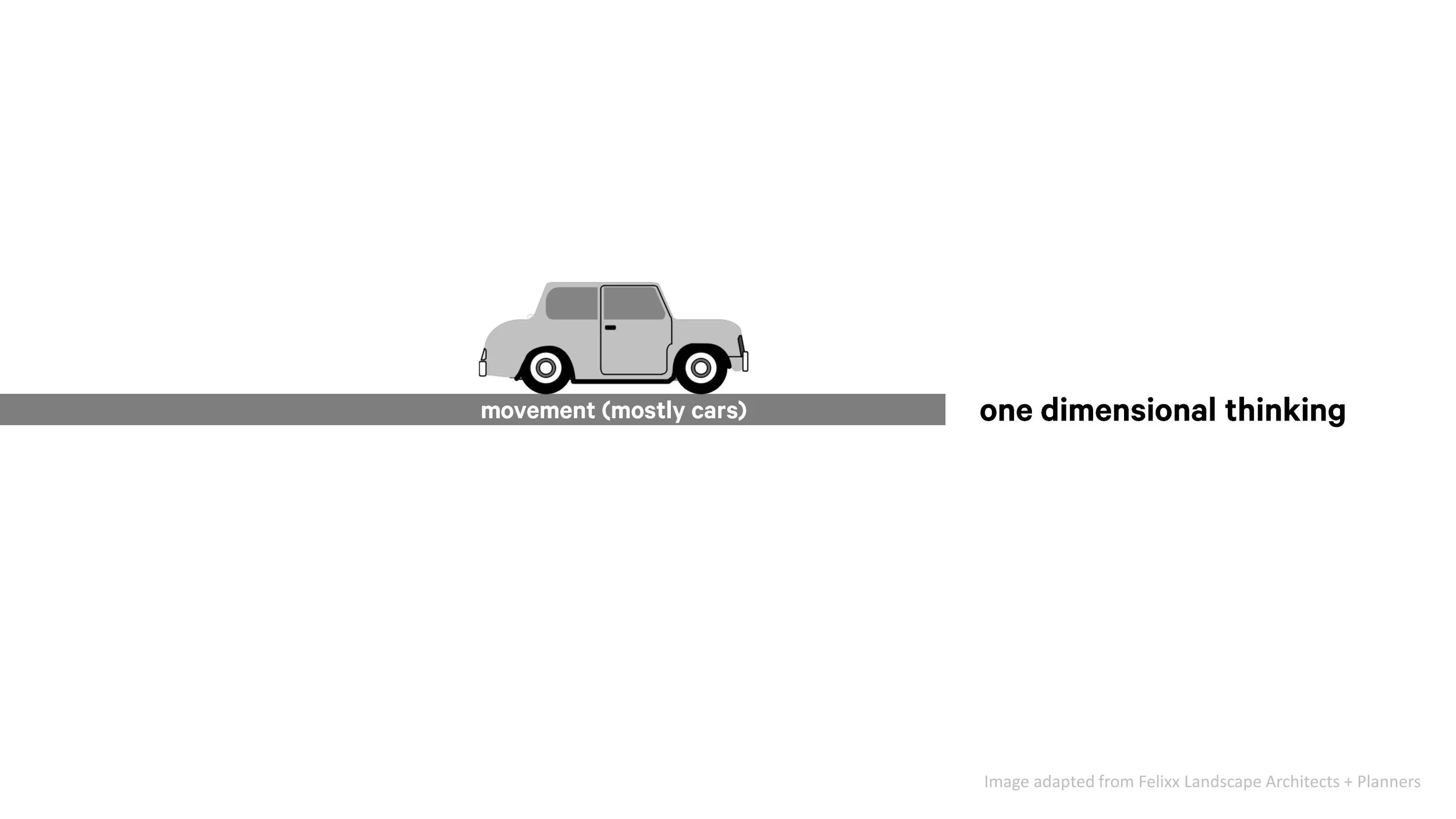
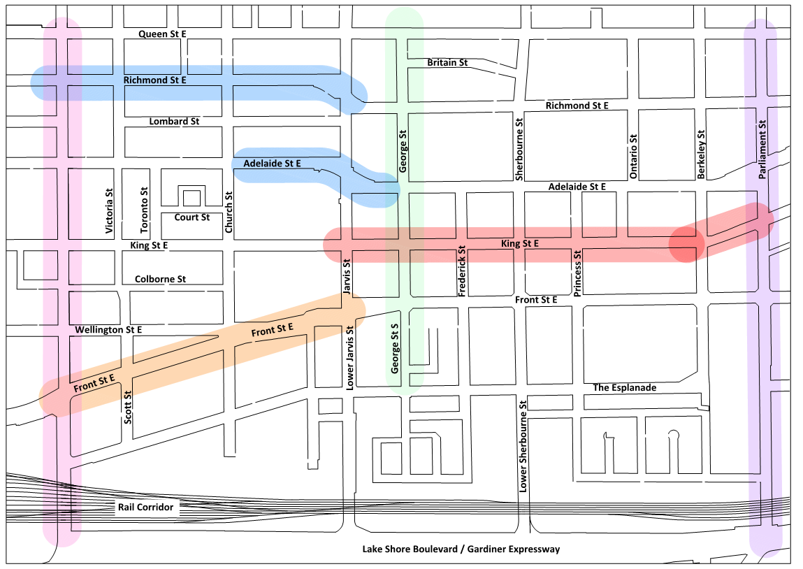
x2 types of streets
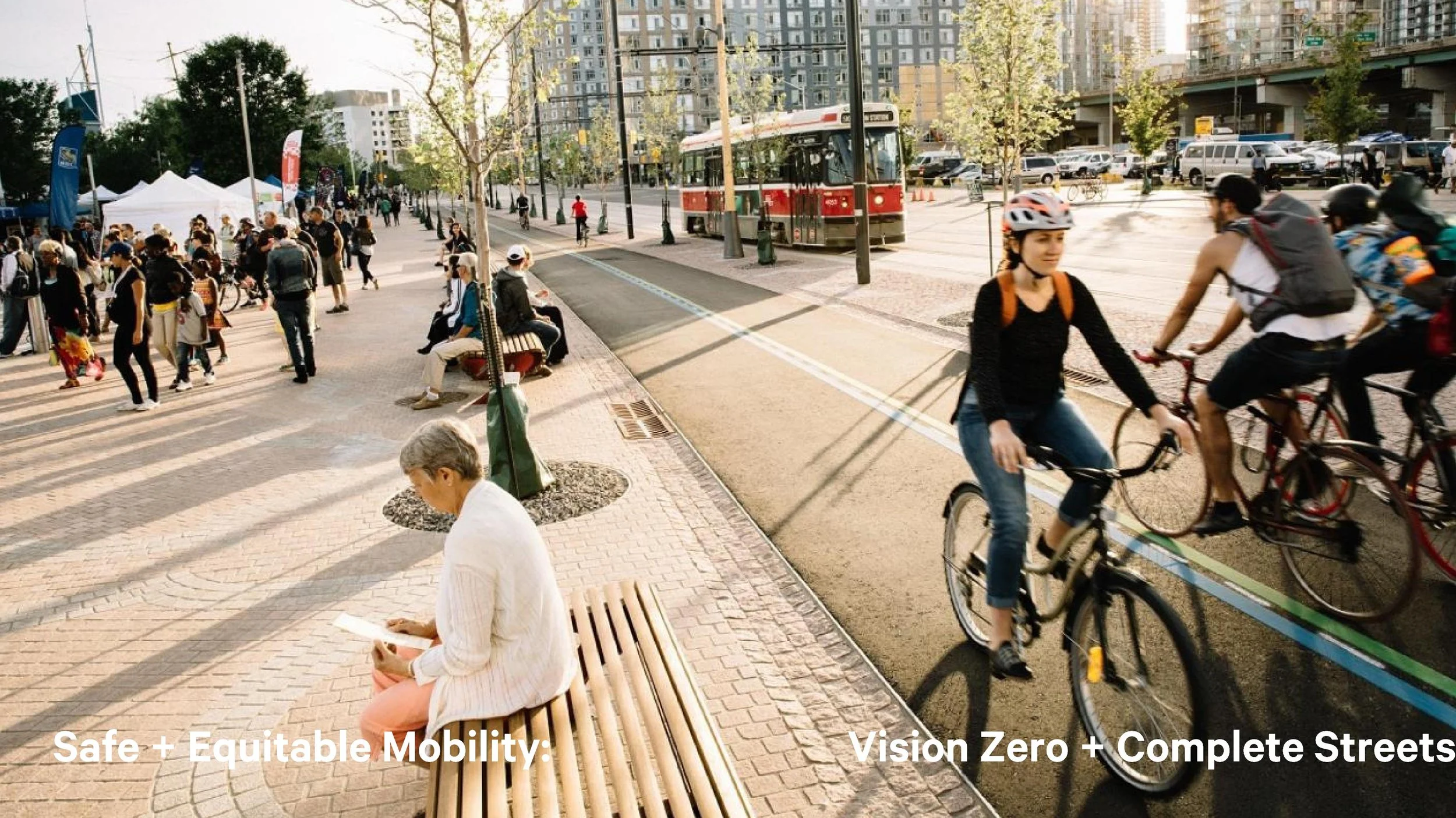
"Through" streets: arterials and transit corridors that prioritize traffic flow to create a complete and efficient mobility network while maintaining a safe and pleasant pedestrian experience.
"To" streets that provide local connections between our parks, schools, shops, and other community amenities. These streets prioritize pedestrian experience and accessibility while providing balanced mobility for personal vehicles, public transit, and bicycles.
add updated version of this map

x2 transformations
"As-of-right" transformations that apply the appropriate City road engineering design guidelines and maintaining existing vehicle/transit capacities, without the need for extensive corridor review.
"Study Areas" transformations that involve unique alterations for multi-modal, city building, or community enhancement goals. These transformation require review and consultation with City staff, the BIA, and other key stakeholders during their design.
add updated version of this map
x2 design methods
This is nuance on your process: I think it's very important that the block plans and the interim measures are used to support one another. See link at "Street Experiments" for more information, and let's discuss how we can reconcile this.
Paper: Leveraging the professional expertise of municipal staff and community leaders, this method identifies opportunities and incrementally advances the design of every street in the neighbourhood through a series of studies, agreements, and processes:
A Street Network Masterplan (SNMP): Co-design of initial transformation concepts (10% design) and identification of study areas (link).
B Street Block Plans: Detailed design of each street segment Informed by the SNMP and observations / data collected from "Street Experiments" (described below).
C Street Details: Development of BIA-Specific streetscape details to inform construction standards
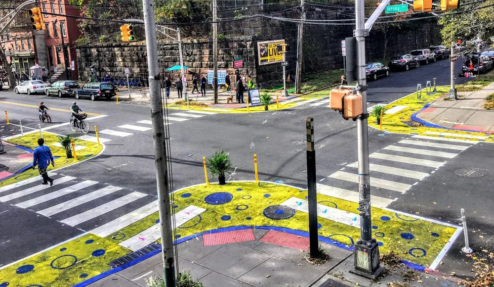
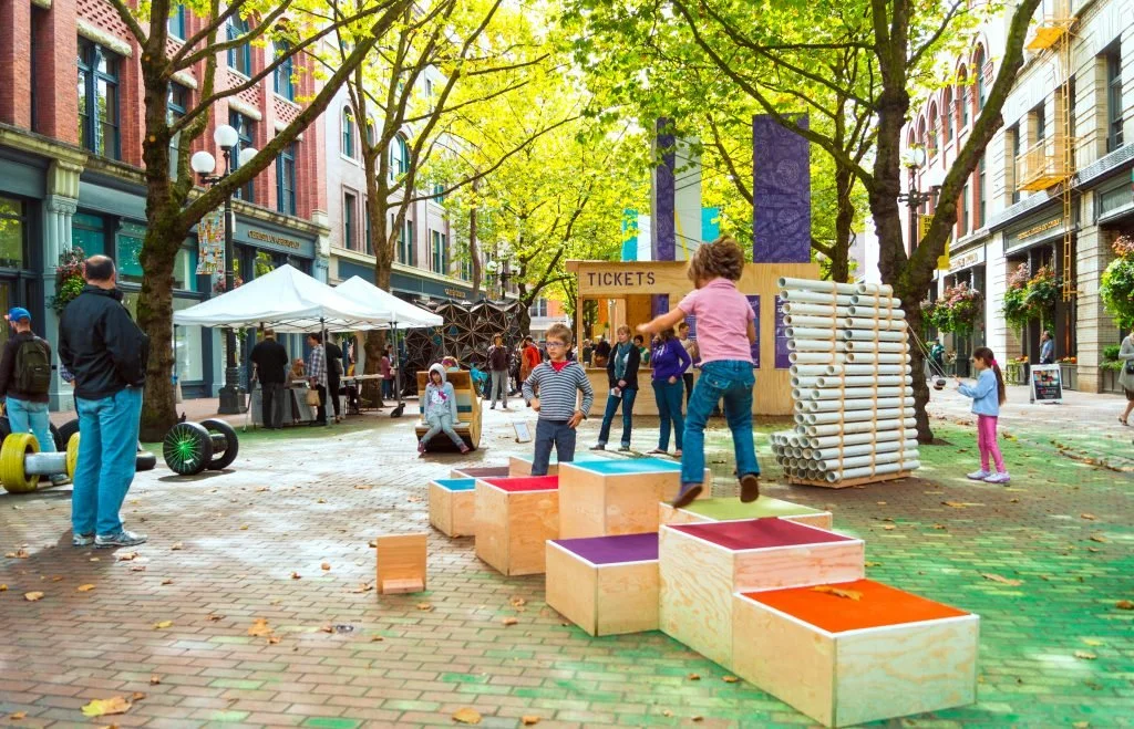
Paint: Leveraging the day-to-day experiences and expertise of local community members, “Street Experiments” (link) designed in collaboration with the municipality and BIA will be used to prototype high-priority study areas and upcoming development sites. Often constructed using a mix of paint, planters, blocks, and bollards, these low-cost experiments will show us exactly how our Block Plans (described above) will transform our streets. This will allow us to study community impacts, gather real-time data, and fine-tune our design work—allowing us to "built it right the first time" and save millions of tax dollars.
x2 sources of funding
Need more text here about the typical funding streams, maintenance / replacement cycles, etc. Add image of in-progress street work (ie. current king street).
The current practice of individually upgrading streets and reinstating the status quo must no longer be permitted. We can and must do better by making the most of government investment and private development opportunities to incrementally build the ‘future state’ defined by the Street Block Plans.
Provincial + municipal infrastructure investment for upgrades and maintenance
Improvements leveraging the funds of City Capital projects and provincially-mandated infrastructure upgrades
Private redevelopment
There are currently more than 45 active redevelopment applications that we can leverage to transform more than 28% of our neighbourhood streets in the next 5 years. Leveraging these opportunities will allow us to implement high quality public realm improvements with little or no additional cost to the City.
Current Initiatives
Mark, we'll need to define what's happened / happening, and keep this up to date, perhaps with links to individual initiatives. This will be an important way to keep people up to date and engaged. In particular, I think we should talk soon about Park(ing) Day - getting one or two of those installed for the September "activation" date will be an important way to engage the community about our efforts. Once adoption of SNMP is complete, we add that here as "news". We can add an image roll to display content from our photographer (if we find one).
May 2025 - Open Market Street
May 2025 - Street-side seating: George Street
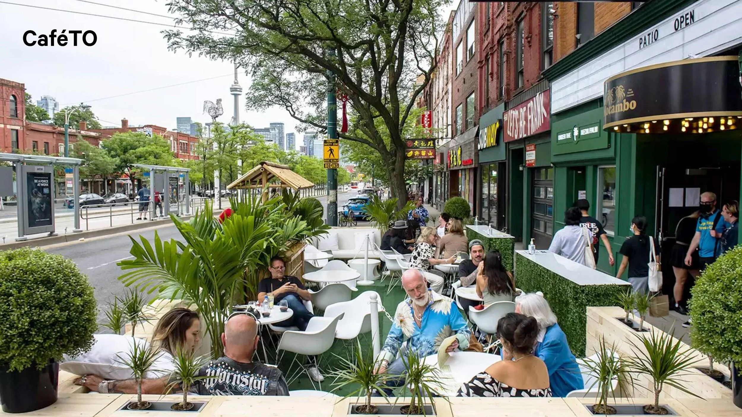
June 2025 - CaféTO installations
Summer / Fall 2025 - Festival activations on Front Street
Fall 2025 - Block Plan Testing + Data Collection
September 2025 - Park(ing) Day activations